
Trinidad and Tobago on yellow-level weather alert
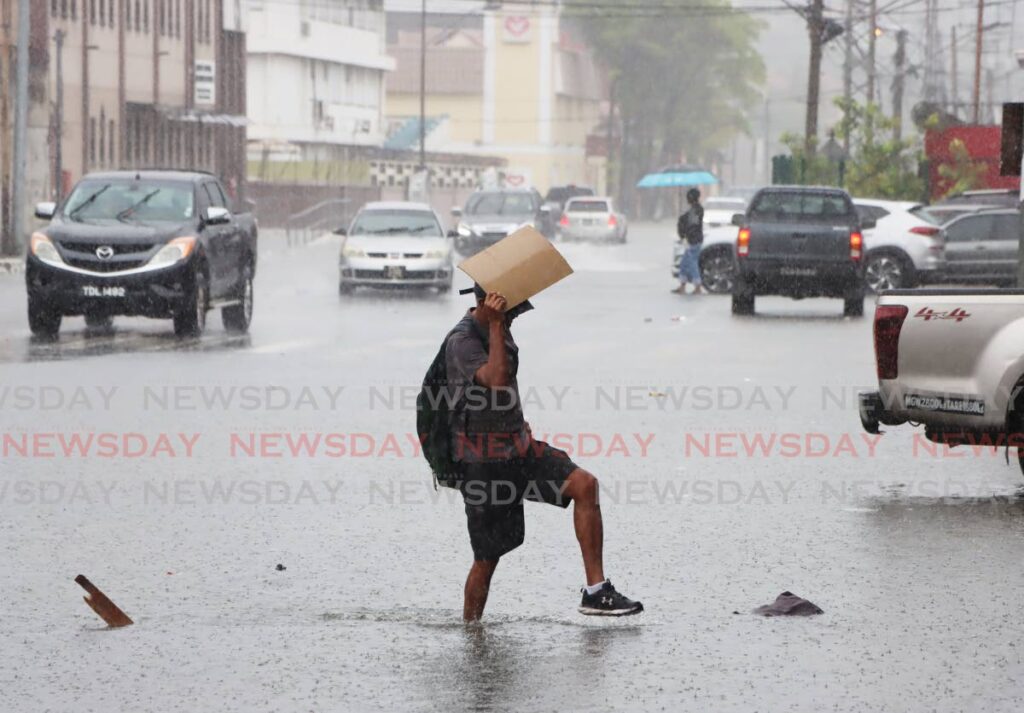
AS the Independence Day weekend begins with festivities planned in the capital, Tunapuna and southern Trinidad, the Meteorological Office has issued a yellow-level adverse weather alert until noon on August 31.
It went into effect at 11.15 am on August 30.
The Met Office says people should expect increased scattered showers and thunderstorms in the next 24 hours owing to a broad low-pressure system linked to the Inter-Tropical Convergence Zone (ITCZ).
Winds could exceed 55 km/h, causing potential damage from gusty winds, such as broken tree branches and the displacement of unsecured items. Heavy downpours may also make seas rough and could lead to street and flash flooding, which can cause temporary traffic disruptions and landslips in affected areas.
A release sent on August 30 said there is also an approaching tropical wave that could develop into a cyclone.
The Met Office is also monitoring a tropical wave in the central tropical Atlantic, which it says has a zero per cent chance of cyclonic formation over the next 48 hours but a 40 per cent chance over the next seven days.
Whether this system develops into a cyclone, it is expected to affect TT and the southern Windward Islands, influencing wind patterns and increasing atmospheric instability.
Comments
"Trinidad and Tobago on yellow-level weather alert"