Mexico, Trinidad and Tobago launch Geospatial Observation Centre

THE governments of Mexico and Trinidad and Tobago launched the Geospatial Observation Centre (GOC) on February 20 at a virtual conference.
The project is being developed in co-ordination with UWI and will be based on the St Augustine and Debe campuses.
The GOC will serve as a hub for geospatial research and data analysis, facilitating collaboration and knowledge-sharing among stakeholders across the Caribbean.
The facilities will be equipped with state-of-the-art hardware and software.
The programme trained 583 technical specialists in eight modules. They will be responsible for managing and effectively using earth observation data.
Through this capacity-building programme, participants have gained skills in generating geospatial data sets and using geographic information systems (GIS) to address regional challenges.
The goal of the programme is to address critical issues such as flooding, mangrove management, sargassum algae monitoring, and forest-cover mapping. These results will enable decision-makers and stakeholders in the Caribbean to drive sustainable development.
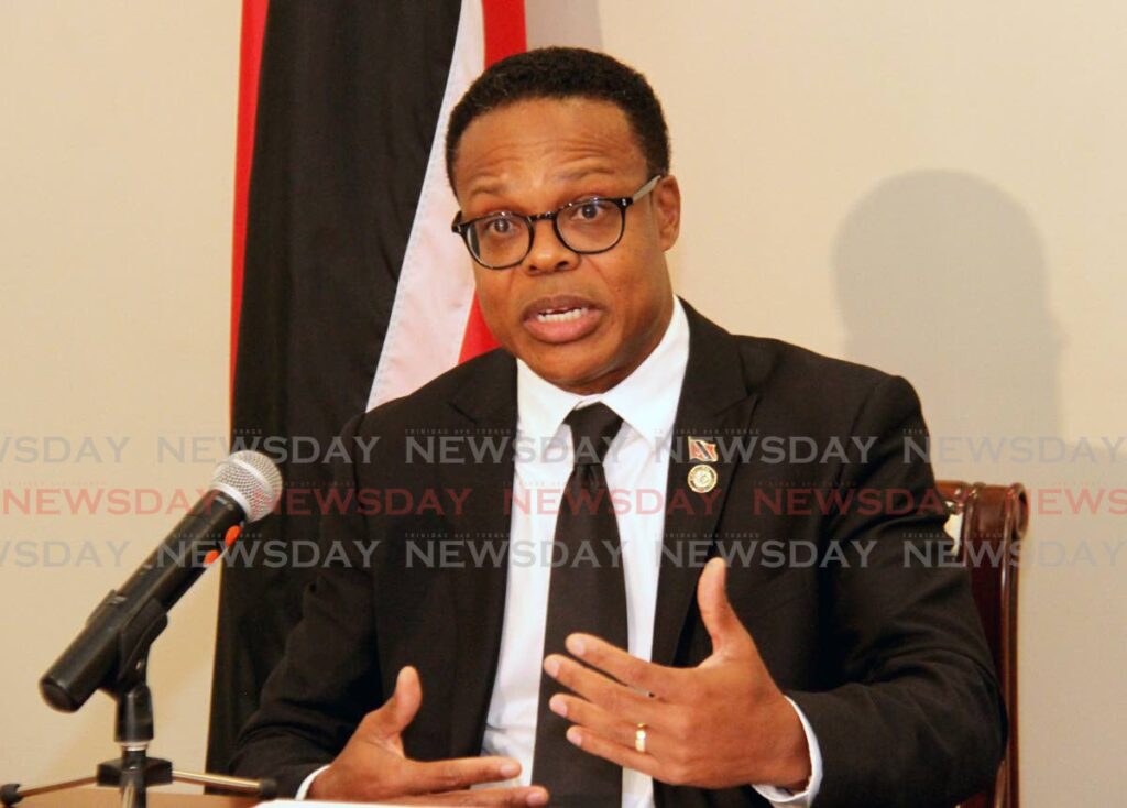
Minister of Foreign and Caricom Affairs Dr Amery Browne said it was an honour for Trinidad and Tobago to be able to participate in this programme, which demonstrated the strength of the agreement between the government of Mexico and UWI and will allow it to preserve the future.
"The impact of this programme will be enormous.
"There have been eight beneficial workshops for interested parties with the sharing of tools and technologies.
"Remote-sensing images give us very important information about the conditions of the land and especially in areas that are difficult to enter, and allow us to model the world in real time to be able to make more appropriate political decisions."
Browne said these technologies can enable disaster response and care that will be vital for the region.
"It will help us capture new trends and be more selective in land-use guidelines.
"I want to express my gratitude to everyone who participated in this training programme. On behalf of the government of Trinidad and Tobago, we express our appreciation to the government of Mexico for pioneering this programme and helping our region.”
Efraín Guadarrama, representing the government of Mexico, said his country firmly believes in the exchange of science and technology, fundamental for the development of countries.
The training lasted almost a year and included around 100 specialists from NASA and universities and technological institutes of Mexico, through the National Institute of Statistics and Geography (INEGI).
"Mexico is proud to lead this collaborative effort to strengthen the geospatial capabilities of the Caribbean region, with the goal of fostering innovation, resilience and prosperity throughout the region. Mexico reaffirms its commitment to promoting regional cooperation and promoting positive changes in the Caribbean and Latin America."
He credited UWI for being a great partner in launching this training programme.
Charisse Griffith-Charles, head of the department of Geospatial Sciences and Land Use at the UWI, said this year with these new technologies her department has begun to do research that previously could not be done and that it contributes so hundreds of students can be trained to expand these investigations.
Bheshem Ramlal, professor and dean of the Faculty of Technology at UWI and current leader of the project, explained as an example that all the data collected in the GOC can identify flooded areas, especially in Trinidad and Tobago and Guyana, as well as water-quality changes in the soil and the impact they may have on the agricultural sector to sustain food security.
Ramlal said with the new technological system they were able to trace the recent oil spill off the Tobago coast.
The memorandum of understanding between UWI and the Government of Mexico has three phases: strengthening the geospatial infrastructure with the creation of a data centre at the Debe Campus and a high-capacity computing department at the St Augustine Campus; technical training; and dissemination through more seminars.
The first two have already been completed and now the third stage begins.


Comments
"Mexico, Trinidad and Tobago launch Geospatial Observation Centre"