Met Office: Prepare for wetter wet season

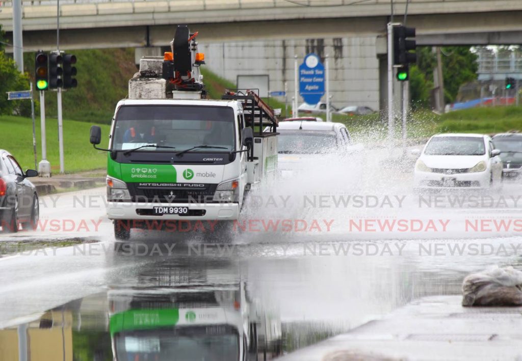
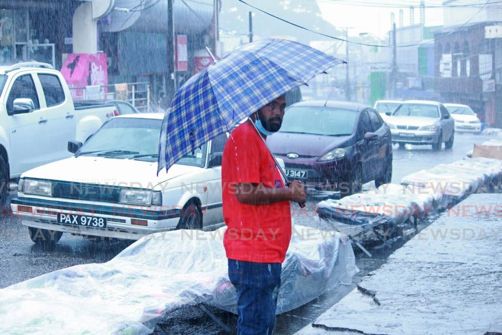
With the announcement of a wetter-than-normal 2021 wet season by the Meteorological Service, people are being urged to monitor information from the Met Office and the ODPM to make sure they aren’t caught off guard.
It said there is a new climate normal, as 1981-2010 was the reference for the last ten years. The new reference is the 1991-2020 climate normal representing today’s climate. It said in this new normal, the average rainfall has decreased, but there are an increased number of single-day "rainfall events, " when the frequency remains steady, and 50 millimetres or more of rain. It said days which come with unusually very heavy rainfall have increased steadily.
The Met Office said while the first half of the dry season, June-August, will be drier than normal for the time of year with June being the driest of the three months, this still means there will be substantial rainfall, and the potential for flooding remains.
In contrast, September-November are likely to have much more rainfall than normal, with an elevated potential for flooding. It said there will be 106-108 heavy-rainfall days and 14-20 heavy-rainfall days, with seven-day wet spells being likely.
Climatologist Kenneth Kerr said slightly and moderately heavier than normal flood potential exists for all well-known flood-prone areas and some occasionally flooded areas. Kerr said while floods can’t be prevented, the impact can be reduced.
“At the Met Office, we offer adverse weather and flood warnings. Sometimes these have to be escalated as conditions worsen. They can’t necessarily protect property, sometimes it’s about saving lives. We give long lead times and tell people what to prepare for. We prepare a seasonal flood potential outlook which give people actions to reduce impacts three months, two months, and three weeks ahead. We’re not sure citizens act on this early information but it is out there.
“Slightly and moderately higher than normal flood potential means the chance for high impact flash floods and riverine floods is much elevated. Normal flood potential for most of these areas are usually high, including northeastern Trinidad, Vega de Oropouche, Penal, Debe, Diego Martin, and Maraval. Citizens living in flood-prone areas are urged to prepare their homes, yards, and immediate vicinity by cleaning canals and drains, and acquiring a working water pump if possible.”
He said the flash flood potential of an areas is determined by looking at the area and time of year, then multiplying this by the flood susceptibility of the area, then multiplied by where there are exposed lives, livelihoods and assets.

The Met Office said both day and night temperatures are expected to be much warmer than average during the wet season. It said a few hot days, with maximum temperatures greater than or equal to 34 degrees Celsius, and one or two short duration hot spells, with five or more consecutive hot days are likely during August-October. It said cities and urban areas are likely to get the most intense heat.
“Hotter than average maximum day and night temperatures during May suggest heightened concerns for persons with heat-sensitive ailments, vulnerable persons exposed to excessive heat, and heat-stress in livestock and other animals, as well as, in young and transplanted crops.”
It said the Madden Julian Oscillation (MJO) is likely to suppress local rainfall during the first week and part of the second week of June; however, near average sea surface temperatures (SSTs) in and around Trinidad and Tobago will probably be the main influencer of the local climate in the short term. The MJO is the major fluctuation in tropical weather on weekly to monthly timescales. The MJO can be characterised as an eastward moving "pulse" of cloud and rainfall near the equator that typically recurs every 30 -60 days.
In light of the upcoming wet and hurricane seasons, which traditionally start in June, the ODPM is warning people to begin preparing for the possibility of flooding and other disasters.
ODPM mitigation manager Haley Anderson said there were several measures people could take to prepare themselves for a disaster.
“You should know your risks depending on the area you live in. Pay attention to trusted sources such as the Met Service and the ODPM. Verify any information you see on the internet. Invest in a battery-operated or hand-cranked radio in case electricity goes.
"Develop an emergency plan and emergency communications plan: keep numbers in your wallet/purse in case phone goes dead, text instead of calling as networks may be overwhelmed.
"Build and maintain an emergency kit including enough water, food, medical, sanitary, personal safety, and survival gear for three to seven days.
"Collect, protect and photograph important documents, and email them to yourself to be on the safe side.
"Take action now before bad weather starts, including making sure your roof is safe, trimming trees, clearing gutters and downspouts, filling and pre-position sandbags if you live in a flood-prone area, pre-cutting plyboard, and identifying safe locations in your home.”
He said larger enterprises and sectors should review and update risk registers, preparedness and emergency plans, and business continuity plans. He said they should establish or augment disaster contingency plans, and update insurance policies.

Comments
"Met Office: Prepare for wetter wet season"