Follow the water: Hike from waterfall to sea

A hike to the Main Ridge in Tobago is the start of an exciting journey. Take the Gilpin to Bloody Bay trail and immerse yourself in an authentic Tobago experience that allows insight into why the forested backbone is so vital to the health of the island. Dr Anjani Ganase follows some waterfalls to the sea.
The Tobago Main Ridge Forest Reserve was declared protected in 1776 for one reason – water. Guided by the findings of English scientist Stephen Hales, who noted the correlation between trees and rainfall; Soame Jenyns, a member of the British Parliament, convinced the lawmakers that the main ridge traps the water so vital to Tobago’s fertility, climate and island ecology. Over 200 years later the importance of the Tobago Main Ridge – more than ever – continues to hold true.
For many Trinis, Tobago is the island of sun, sand and sea, but if one ventures inland there are many trails that allow you to explore the unique rainforest of the main ridge, something distinctive to Tobago.
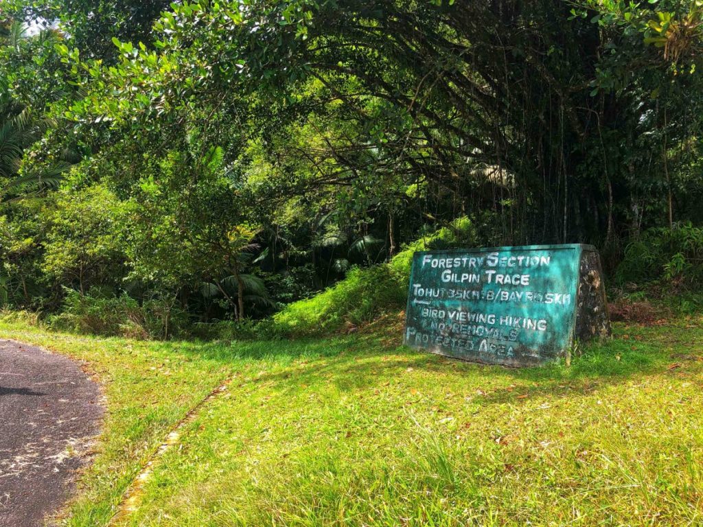
The Gilpin Trace is one of the more popular trails. The start of the trail is along the Roxborough to Parlatuvier Road between the 33.5 and 35 km markers. The trail is usually serviced by experienced guides who have considerable knowledge about the vegetation and wildlife in the area. This day, we were guided by a resident of L’Anse Fourmi, who explained that the Gilpin Trace is actually the old Roxborough to Bloody Bay Road used by the locals. As we retraced the path, the remnants of the road and bridges that cross waterfalls are obvious; the trail appears to be well maintained by the Forestry Division, making for easy trekking.

Although we started out at the entrance of Gilpin, our mission was to follow the old road all the way to Bloody Bay. The start is about 500m above sea level and ends at the church overlooking Bloody Bay along the Charlotteville L’Anse Fourmi Road, close to sea level. A total hike of just over 7.3 km, it loosely meanders around the contours of the mountain range and crosses several waterfalls that flow along the nooks of the ridge.
FALL INTO THE WATER!
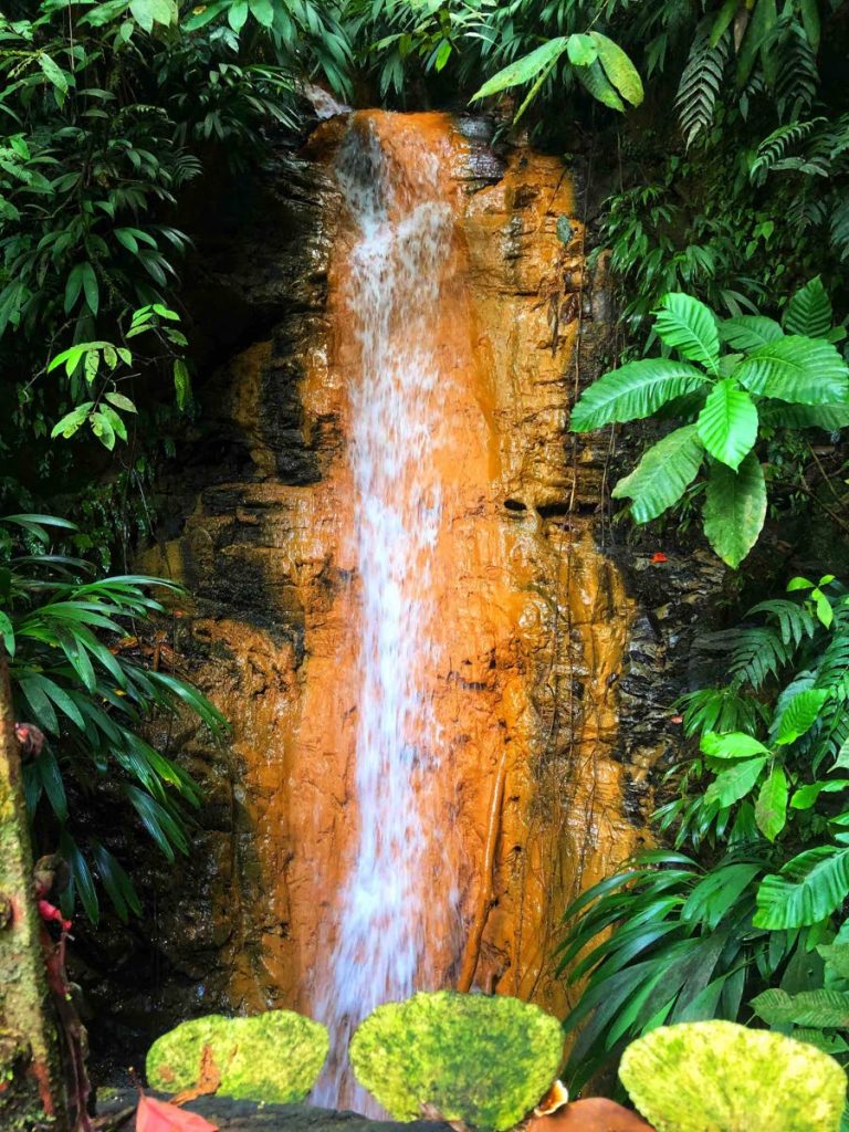
The first hour is spent passing small streams and then we make our way across a very precarious wooden bridge that crosses a waterfall that cascaded below our feet. The waterfall and the vegetation are examples of curious scenes uncommon on the trails I hiked in Trinidad: many palms grow among the canopy of trees. The waterfall in this section has deposits of clay along its rock face.
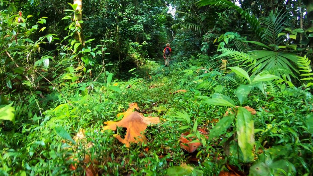
We continue along the path for another three hours and come across another four waterfalls on the way to Bloody Bay. For an additional adventure, we scramble off the path to the base of a nearby waterfall about 15m in height tumbling into a pool deep enough to be submerged. The climate of the hike was cool and not very humid even for hiking during the midday hours.

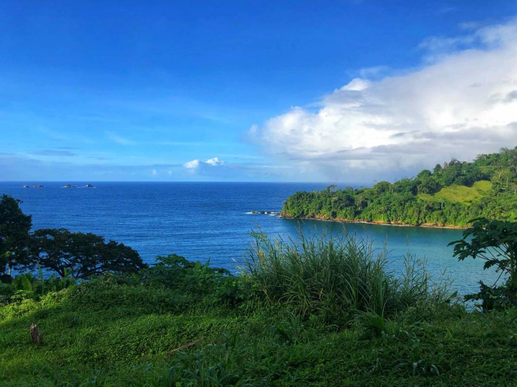
As we continue the descent, along the path the sides of the mountains give way to a wider trail. We pass sections of the path where Bloody Bay residents had homes before hurricane Flora forced their relocation. There was nothing to suggest a village or dwellings except for the size of the path, one concrete post to mark a community’s existence. Nature was quick to reclaim the area. As we walked out of the forest, we were greeted by the clear ocean blue and crisp outlines of reef below the surface of Bloody Bay. A four-hour trek from ridge to reef can only be possible on a rich and compact landscape such as Tobago.
For more information on hiking trails and bird watching in Tobago go to the website visittobago.gov.tt.

References:
Tobago Main Ridge Forest Reserve, UN World Heritage Convention, https://whc.unesco.org/en/tentativelists/5646/.
The Trinidad and Tobago Field Naturalists’ Club, Trail Guide Second Edition, Trinidad and Tobago 2006.

Comments
"Follow the water: Hike from waterfall to sea"