
Protecting the shoreline
Managing and conserving marine life around our shores is as important as regulating development on the land. Dr Anjani Ganase speaks for life in the ocean and advocates planning that extends to the ocean beyond the coastline. Marine spatial planning is the responsibility of everyone who enjoys an ocean activity.
As islanders we see our ocean backyard as vast and endless.
The science tells us different. Historically, islands of the Caribbean have recorded overreach of ocean resources. Fisheries and industries have expanded from coasts to deep-sea areas that have never been explored before. Coastal communities are washed by pollutants in the form of oil and plastics from neighbouring islands which choke beaches, mangroves and coastlines. Sensitive areas are encroached on and degraded by industry and development.
Living on islands, we can see the changes in our landscape: forests replaced by roads and houses, and everything that happens in the ocean is out of sight.
There are a few agencies, such as the Institute of Marine Affairs, Forestry and Fisheries Divisions and research institutions that record changes to the coastal areas and near-shore marine ecosystems, but most of us are blind to the impacts on our offshore and deep-ocean ecosystems.
We must recognise the need to protect our critical marine ecosystems and safeguard our health and livelihoods when working or enjoying the ocean space.
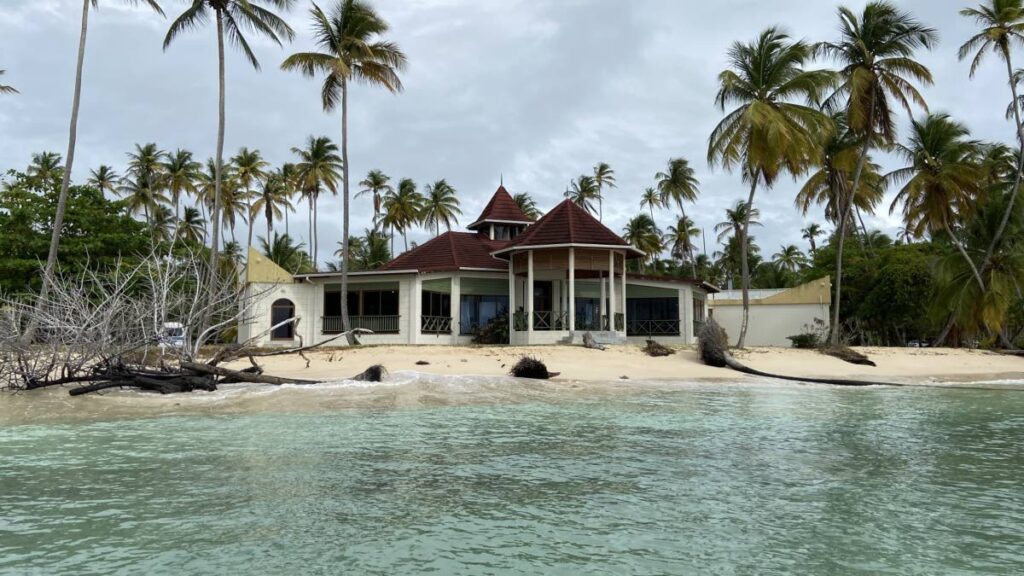
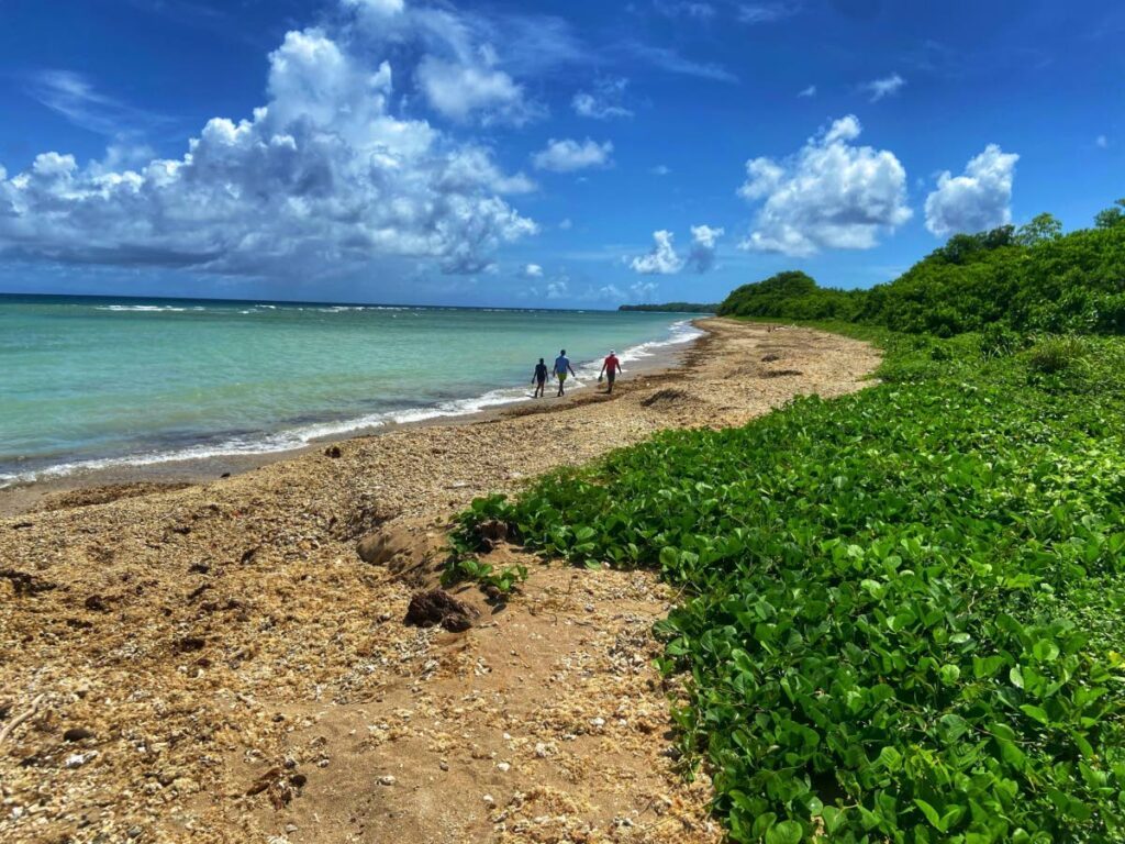
Williams Bay in Chaguaramas is an example. Here is an area frequented by beach bathers. Over the years, the bay has become sandwiched by a derelict bauxite facility, an industrial harbour, shipping lanes and a waterpark, affecting and degrading the marine habitat. River run-off from agricultural lands is enriched by sediment and ash from regular slash-and-burn, and fertiliser that results in microbial blooms during the rainy season.
Concrete structures alter the wave patterns of the bay. The loss of back-beach vegetation means that everything runs off the road directly into the water with a single rainfall, and the waves are no longer buffered by the sand. The water quality is so poor that seagrasses struggle to grow. Macroalgae grows faster. Seahorses, once an attraction, are a thing of the past. Rampant development on the shore indicates the lack of planning for the marine space, and destroys the very resource we seek to enjoy socially and economically.
Think about what might be different and more responsible for Williams Bay, the Gulf of Paria and Tobago.
Given that our marine spaces are utilised in so many ways, planning is essential to ensure the exploitation does not outweigh conservation, and there is protection of biodiversity and ecological function for the long term. Similar to land planning, marine spatial planning has a long-term strategic vision and manages competing interests for continued benefits to all life into the future.
Marine spatial planning (MSP) is the process that prioritises ecosystems in marine and coastal areas. MSP protects natural marine spaces while facilitating other regulated resource uses. MSP monitors and regulates activities such as recreational, fishing, tourism and industrial and commercial-scale activities, such as shipping, ports, harbours, mining and oil and gas extractions.
The formation of a marine spatial plan can be led by a governing body, but can also be initiated in a community. It is a collaborative and iterative process that involves all users. The involvement of all stakeholders throughout the process ensures buy in, trust and transparency in the process.
MSP will involve many discussions, compromises and trade-offs towards agreement. A clear shared vision is essential, with goals that are specific and quantifiable. The marine spatial plan aims to reduce conflicts for the use of marine resources, as well as build opportunities, and protect sensitive ecosystems.
Taking note of life in the sea
The first stage requires a critical analysis of all activities in the marine space – where, when, what and how? Everything from industry and coastal infrastructure to conservation activities and sensitive natural systems and biodiversity hotspots must be mapped.
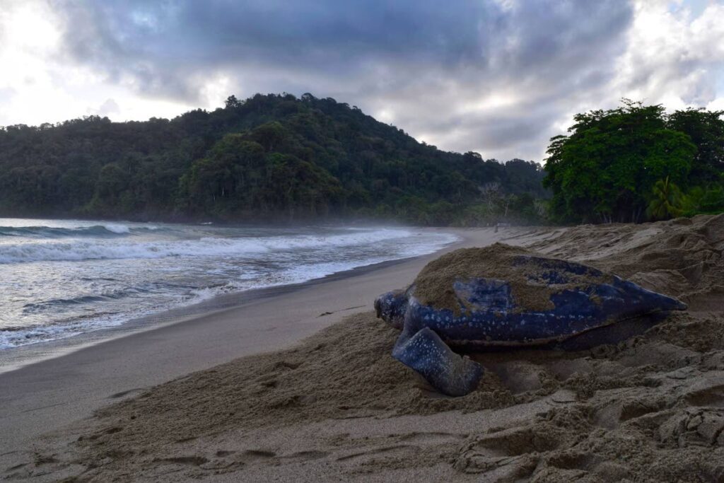
Additionally, the impacts, the peak use or peak sensitivities of the areas of use must be quantified. For example, when is the spawning season for coral reefs? When is the turtle nesting season? When is the peak time for tourism?
Along with the historical trends, it is important to understand the future, including impacts to the area caused by climate change, as well as socio-economic development plans. All marine users – from fishermen to hotel owners, lifeguards and government agencies – must be identified for information on how the marine space is used.
Everything should be mapped firstly to identify the sensitive life forms and areas of cultural and biological importance.
The next step is to identify areas of conflict, such as areas where commercial activities overlap with recreational activities. or areas of ecological importance overlapping with exploitation activities.
Through discussions, mutually exclusive activities should be designated separately to avoid conflict, while synergistic activities can be managed together within the shared spaces.
What we expect from the future – the potential expansion of industrial zones, impacts of climate change through sea-level rise – needs to be considered. Planning with stakeholders requires lots of discussions, compromises, and trade-offs to achieve long-term sustainability of the marine systems and associated activities through MSP.
No plan is perfect and there will always be compromise.
Safeguarding coastal communities
Marine spatial plans must be supported by policies. Implementation requires regulatory agencies, tools for management and building awareness. Implementation must include the process of continuous assessment to see if targets and goals are met. It should also facilitate changes from use or disturbance.
In TT, we will not be starting from scratch, as there are policies that speak to the development of marine spatial planning, including the Integrated Coastal Zone Management plan. We have existing and proposed areas designated for protection and sustainable use, such as the Buccoo Reef Marine Park and the Speyside Marine Protected Area.
Remember, communities are not only human. MSP brings with it opportunities for additional ways to benefit from the ocean as management progresses, for example the potential of mangroves and seagrasses as blue-carbon credits or a new avenue for tourism with rejuvenated marine habitats.
Awareness and your personal plan
In the meantime, you can do your own marine spatial planning for responsible enjoyment at the beach and in the water. Imagine your favourite beach in TT. Where is the river? What activities are occurring upstream?
Avoid swimming close to the river mouth where bacteria and pathogens are more likely to bloom, and sharks like to hunt.
Are there any submerged reef areas or seagrasses to avoid standing on?
Do turtles nest on the beach? Look for turtle tracks or signs before digging holes in the sand or propping an umbrella.
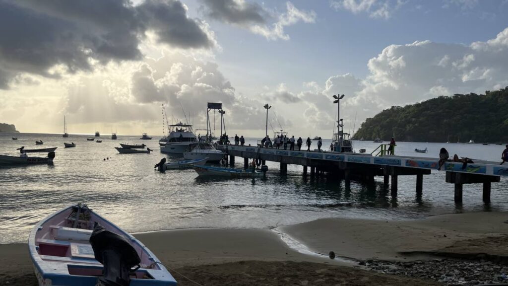
Are there boating or jet ski activities?
Is there fishing? Where are the fish being cleaned and disposed of? Fishing and the disposal of fish waste attract larger predators.
Finally, where is the best spot to take a scenic photo for social media to promote the beauty of the area?
Be aware of what makes being by the ocean so special.
Comments
"Protecting the shoreline"