
Met Office issues hot spell, hazardous seas alerts
The Met Office has issued two weather alerts, bringing attention to a potentially hazardous hot spell and sea conditions.
On Monday, the Met Office declared its third yellow-level hot spell alert. There is an 80 per cent chance of extremely high daily temperatures until October 16.
During this week, temperatures are projected to reach or exceed 34C in Trinidad and 33C or higher in Tobago. After October 16, temperatures are expected to return to normal levels.
The hottest hours of the day are typically between 10 am and 4 pm.
To cope with the heat, people are strongly advised to wear appropriate clothing, stay well-hydrated and avoid direct exposure to sunlight, to prevent sunburn. It is recommended to keep homes well ventilated to fight the heat.
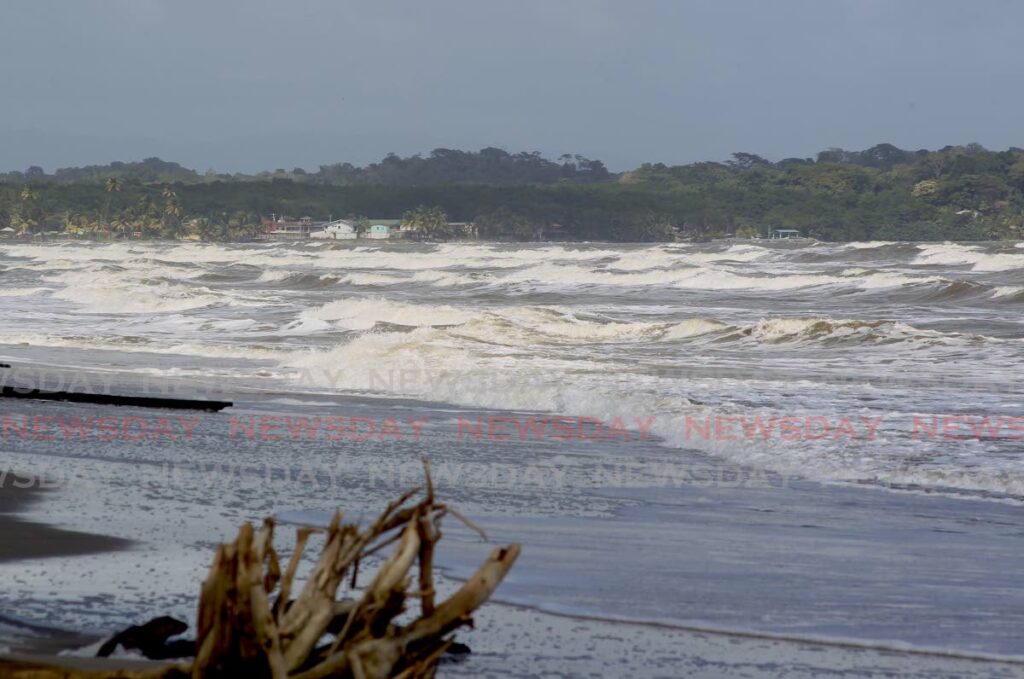
In a separate alert also issued on Monday, the office issued a yellow-level hazardous-seas alert until Thursday.
The primary areas affected by this alert include the northern, eastern, and western coastal regions of Trinidad.
The northern coastal areas of Trinidad will experience long period swells, accompanied by occasional battering waves. The northern and northeastern exposed coastal areas of Tobago, along with the northeastern and western coastal areas of Trinidad, are also expected to face the same conditions. Occasional battering waves are expected, particularly during high tides.
Mariners and coastal communities are strongly advised to closely monitor sea conditions, especially during high tides and exercise caution.
Comments
"Met Office issues hot spell, hazardous seas alerts"