
Met Office: Hurricane Lee no threat to Trinidad and Tobago
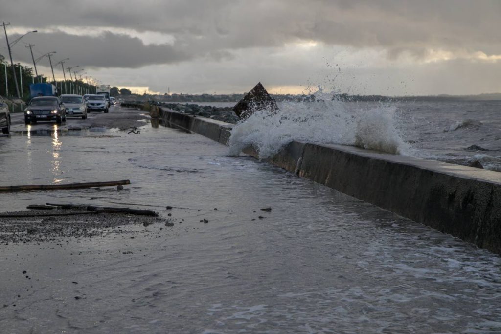
TRINIDAD AND TOBAGO is not expected to be in any danger from Hurricane Lee which had previously been a tropical storm said the TT Met Office on Wednesday in a statement.
The statement said at 5 pm, the centre of Hurricane Lee was near 14.9N 46.4W or about 1700 km east-south-east of the northern Leeward Islands.
"Lee is moving west-northwest near 22 km/h and this motion is expected to continue for the next few days, with a slight reduction in forward speed.
"On this track it is not expected to directly impact TT."
Maximum sustained winds have increased to near 120 km/h, with higher gusts.
"The National Hurricane Center forecasts continued steady-to-rapid strengthening, and Lee is expected to become a major hurricane over the weekend."
Interests in the northern Leeward Islands should monitor Lee's progress.
The statement reiterated that the hurricane posed no immediate threat to Trinidad, Tobago, and Grenada and its dependencies.
"There are currently no alerts, watches or warnings in effect for Trinidad and Tobago.
The Met Office will continue to monitor Lee and issue an update at 12 pm on Thursday, or earlier.
The statement urged the public to pay close attention to information from the Met Office via its website, mobile app (search: TT Met Of6ce) or its posts on Twitter, Facebook and Instagram. The UK-based Independent newspaper said Lee "is expected to build into an 'extremely dangerous' storm by early Saturday" but would not make landfall but pass to the north of the British Virgin Islands.
Comments
"Met Office: Hurricane Lee no threat to Trinidad and Tobago"