
[Update] Yellow-level adverse weather alert extended to Wednesday: Maraval River bursts its banks
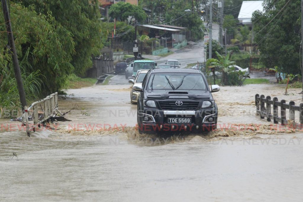
As heavy rains swept across the country on Tuesday morning, the Maraval River bursts its banks, flooding nearby streets.
By 1 pm, the Ministry of Rural Development and Local Government said the river had reached 98 per cent capacity and had breached its bank in several areas.
The ministry also reported flooding in Ariapita Avenue, South Quaynear City Gate, on Scott Street in San Fernando, along Saddle Road in Santa Cruz and along the Diego Martin Highway near the Sierra Leone intersection.
There were also reports on social media of street and flash flooding in different areas.
In Port of Spain, Independence Square West, Edward Street, Ajax Street, French Street and parts of Wrightson Road were under water by 1 pm.
In Chaguanas, there was flooding in several streets in Enterprise.
The Met Office says the yellow-level adverse weather alert has been extended to Wednesday.
Initially, the alert, which came into effect at 2am on Tuesday, was set to end at 5pm the same day.
However, in an updated alert, the Met Office said it will end at 12pm on Wednesday.
"There continues to be a high (70- 80 per cent) chance of heavy showers/thunderstorms affecting Trinidad, Tobago and surrounding marine areas. These conditions are associated with the passage of an active tropical wave interacting with the ITCZ."
It said conditions are expected to "intermittently deteriorate" over that period.
This is a developing story and it will be updated as more information becomes available.
Comments
"[Update] Yellow-level adverse weather alert extended to Wednesday: Maraval River bursts its banks"