
Trinidad and Tobago under weather yellow alert
THE Met Office on Tuesday morning placed Trinidad and Tobago on an adverse-weather yellow alert starting from 8.30 am.
The alert is expected to continue until 10 am on Wednesday.
The Met Office said the current bad weather affecting the country is the result of a series of low-level troughs bringing equatorial moisture.
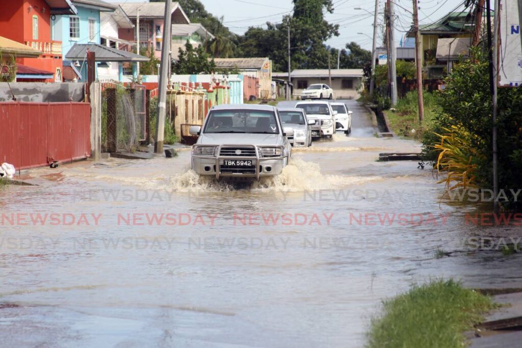
There have been reports of flooding in several parts of Sangre Grande, Guaico Tamana, Coryal and Cumuto.
On Monday, the Met Office said the bad weather is not an indicator that the rainy season has begun.
There is a medium to high (40-70 per cent) chance of heavy showers and thunderstorms with gusty winds over 55 km per hour expected during the period of the yellow alert.
These heavy showers can produce intense rainfall in excess of 50 mm and the Met Office warned that such heavy downpours can lead to flash flooding, localised ponding and landslides in susceptible areas.
The Met Office said soil is near saturation and a peak in activity is expected from mid-morning to early afternoon. The seas may also experience increased agitation owing to strong winds.
On its Twitter page, the Met Office said there is a medium (40-60 per cent) chance some of these showers could become "heavy and or thundery," especially near Tobago.
This is the fifth yellow alert the Met Office has issued this year, but the others were warnings about hazardous seas.
It warned against wading or driving through floodwaters and advised people to monitor weather conditions and updates from official sources via www.metoffice.gov.tt and www.odpm.gov.tt.
Comments
"Trinidad and Tobago under weather yellow alert"