
Adverse weather alert downgraded from orange
The Met Office has downgraded its adverse weather alert from orange to yellow-level.
On Monday afternoon, the Met Office issued the new update, which is in effect until noon on Tuesday. Trinidad and Tobago and offshore marine areas are affected.
On Sunday morning, the office issued an orange-level adverse weather alert and said it would be in effect until 6 pm on Monday.
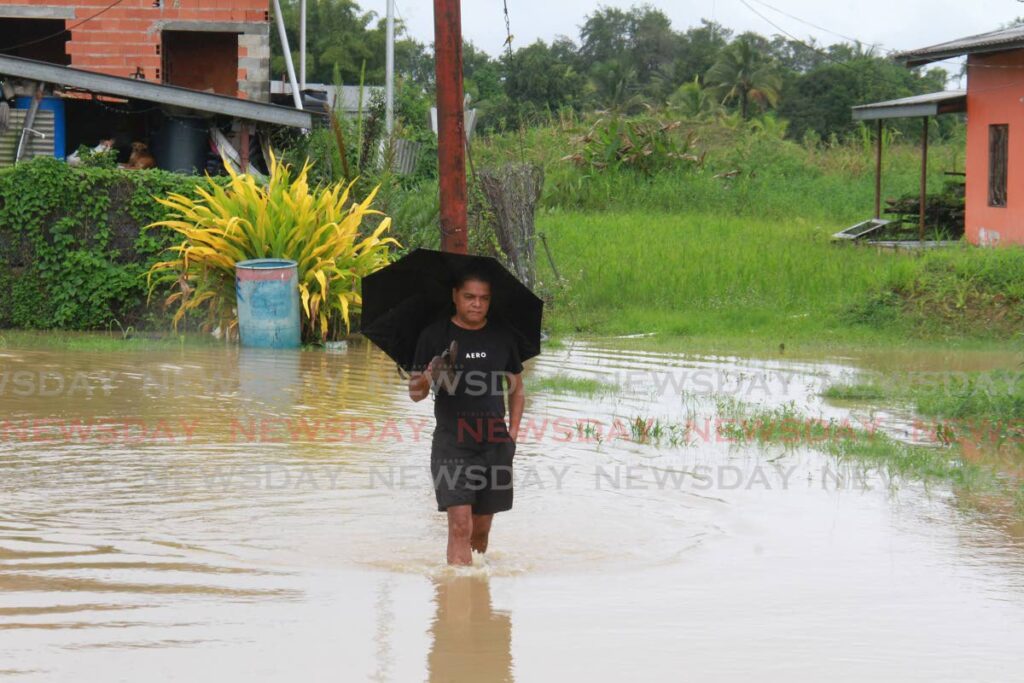
The Met Office said sporadic showers of varying intensity are still expected over the next 24 hours. There is also a medium to high chance that heavy showers or thunderstorms produce rainfall in excess of 25 mm.
It warned about gusty winds around the time of heavy showers and thunderstorms. Street or flash flooding as well as localised ponding are likely during downpours, causing minor traffic disruptions. It said people should expect a delay in run-off in areas already flooded.
Seas can become agitated at times in sheltered areas, and landslides and landslips are likely in areas so prone.
The Met Office advised the public to avoid wading or driving through flood waters. It said people should secure loose outdoor items and livestock, and monitor weather conditions and official updates via www.metoffice.gov.tt and www.odpm.gov.tt
Comments
"Adverse weather alert downgraded from orange"