
EMA moves to cast wider net to protect Caroni Swamp
Overfishing, poaching, squatting, chemical, plastic and other pollutants, rising sea levels all threaten the biodiversity in the Caroni Swamp – the largest mangrove wetland in TT and home to one of the national birds, the scarlet ibis.
As part of a US$30 million pilot project funded by the Global Environment Facility (GEF) through the Food and Agriculture Organization of the United Nations (FAO), the Environmental Management Authority (EMA) has begun phase one to designate over 3,200 hectares an environmentally sensitive area (ESA).
Recently, the EMA issued request for proposals for consultancy services for the re-assessment and delineation of the boundaries of the Caroni Swamp in keeping with its mandate.
The EMA says the designation and management of the Caroni Swamp as an ESA is in accordance with the ESA Rules, 2001 and will mitigate against "irreversible damage to the protected area’s resources and values."
By being designated an ESA, the EMA will continue the work done through the Improving Forest and Protected Areas Management (IFPAM) project and also provide an additional measure of legal protection, which will include:
(1) Conservation of natural resources and protection of the environment
(2) Sustainable economic and human development
(3) Logistic support such as environmental education and information sharing
The Caroni Swamp, Nariva Swamp and coastal zone, Matura Forest and coastal zone, Trinity Hills and eastern extension, Main Ridge Forest Reserve and North-East Tobago Marine Protected Area, have been identified as areas which should be declared environmentally sensitive areas in 2018 during the IFPAM project.
The EMA describes the Caroni Swamp as a nesting and breeding site for the scarlet ibis and a breeding ground and nursery for several fish and crustacean species which contribute to the fish stocks in the Gulf of Paria.
The mangrove habitat is home to mangrove oysters, mussels, clams and conch, all of which are harvested for commercial sale.
The swamp is home to over 190 reported bird species including the scarlet ibis, 24 species of fin fish, the silky anteater, the crab-eating racoon, mangrove crab, hairy crab, the caiman and the tree boa.
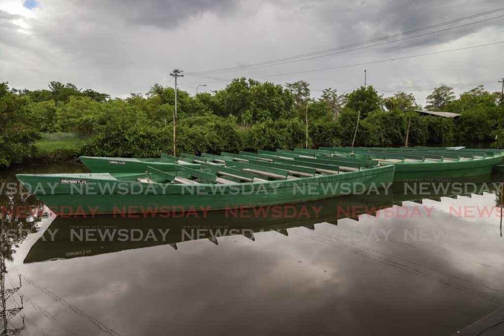
Operators also depend on the swamp to carry out the sustained eco-tourism business, through tours and bird watching.
In an e-mailed response, to a query as to what changes such a designation would bring to those who use the swamp for eco-tourism, the EMA said "stakeholder consultations will be conducted to ensure conservation of natural resources and protection of the environment, as well as sustainable economic and human development. The re-assessment of the boundaries will start these discussions with key stakeholders, including boat tour operators and other users of the swamp."
The EMA said changes to the existing boundaries have not yet been fully determined but during the designation process significant threats and impacts will be identified.
The EMA said the swamp serves as a breeding habitat and nursery area for several marine fish and crustacean species of commercial value, which eventually contribute to fish stocks in the Gulf of Paria.
"Although the Caroni Swamp was declared a prohibited area under the Forests Act, Chapter 66:01, in various portions over the period 1954-1966, a game sanctuary under the Conservation of Wild Life Act, Chapter 67:01 and a wetland of international importance (Ramsar site) in 2005, the swamp is under threat as a result of over exploitation of biological resources, poaching of sensitive species, squatting, illegal landfilling and settlement, high levels of pollution, alteration of drainage system and fresh/salt water balance leading to die back of mangrove species. In addition, access to the area is unregulated and current management initiatives are inadequate," the EMA said.
It said the management plan for the Caroni Swamp protected area that was developed under the IFPAM project examines some of these threats.
Those threats include illegal hunting of birds (including the scarlet ibis), and over-harvesting of fish, shellfish and other wildlife within the swamp.
According to data posted on the Ministry of Agriculture, Land and Maine Affairs, current levels and methods of resource exploitation are perceived to be not sustainable, particularly for oysters and crabs as there is no consistent monitoring programme or data collected on wildlife species found in the swamp.
Changes in freshwater inputs to the swamp, land reclamation for agriculture, widening of existing rivers and channels all affect the salinity of this ecosystem and in turn harm the fish and mangrove.
In addition, harmful chemical runoff from agricultural activities, industrial wastewater and sewage, also affects the water chemistry of the swamp, with knock-on effects on the biodiversity.
Deputy Conservator of Forests Ameer Roopnarinesingh said the designation of the Caroni Swamp as an ESA "will strengthen the existing network and law enforcement for management of the site."
He said it will also “strategically” improve protection for the flora and fauna already covered under the Conservator of Wildlife Act and environmentally sensitive species (ESS) rules such as the scarlet ibis.
Roopnarinesingh said such as status also enhances the expansion of the legal framework for protected area management through the “legally appointed management advisory committee.”
He said the Forestry Division has the responsibility to manage the swamp's forest reserve, prohibited areas and its wildlife sanctuary. In addition, its officers collect data, are in charge of maintenance and operation of the Caroni Bird Sanctuary Visitor Centre and visitor protection.
Research by the Institute of Marine Affairs identified climate change, including rising sea-level, can increase the landward migration of mangroves, and exacerbate the loss of the freshwater marshes associated with this system
Another threat identified was forest fires during the dry season that destroys the natural freshwater marshes near the Uriah Butler Highway.
According to the Ministry of Agriculture, the proposed Caroni Swamp pilot protected area is approximately 3,258 hectares and includes all the lands formerly designated as the Caroni Swamp Forest Reserve and also encompasses the areas set aside as the Caroni Swamp Wildlife Sanctuary.
The pilot protected area is bounded on the west by the Gulf of Paria, on the south by the Madame Espagnole River, from the Gulf of Paria to the main north-south drain, eastward by the main north-south drain, from the Madame Espagnole River to the Caroni River and on the north by the Caroni River, from the main north-south drain westward, then northward and westward to the Sea Lots area.
Comments
"EMA moves to cast wider net to protect Caroni Swamp"