
Port of Spain suburbs flooded as bad-weather alert extended
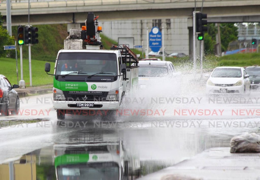
Afternoon showers left parts of Port of Spain and environs covered in a blanket of mud.
Affected areas included: Saddle Road and La Seiva, Maraval; Western Main Road, Cocorite; Mucurapo Road, St James; Ariapita Road and St Ann's Main Road, St Ann's; and Ariapita Avenue, Port of Spain.
Earlier on Tuesday, the Meteorological Service (Met Office) issued a yellow-level adverse weather alert.
A statement on Tuesday morning said the warning went into effect from 9 am and would terminate at 5 pm on Tuesday.
However, the alert has since been extended to conclude on Saturday at 3 pm. The most significant weather is likely to occur from Wednesday evening.
Until then, generally settled conditions will be interrupted by occasional heavy showers and isolated thunderstorms. Periods of rain and/or showers of varying intensity were expected.
There is now an 80 per cent chance of heavy showers and thunderstorms that could produce intense rainfall in excess of 50 milimitres.
Despite online footage of flooding from Tuesday, sources said the damage was minimal and clean-up teams were already being prepared to rid the streets of dirt and debris.
The afternoon media release from the Met Office said, "A combination of features, including the ITCZ and a low-level trough, is expected to affect the region."
Gusty wind of over 55 kilometres/hour are expected, especially near heavy showers or thunderstorms. Landslides or landslips were also possible in areas prone to them.
Street or flash flooding and localised ponding are also likely in heavy downpours.
Seas can become agitated at times in sheltered areas and landslides/landslips are also possible in areas so prone.
The Met Office advised the public to not wade or drive through flood waters and to monitor weather conditions and official updates at: www.metoffice.gov.tt; www.odpm.gov.tt
Comments
"Port of Spain suburbs flooded as bad-weather alert extended"