
Tropical wave dumps rain over Trinidad and Tobago – Flooded
NEWSDAY REPORTERS
THE TROPICAL wave known by meteorologists as Invest #91L brought with it thunderstorms, strong winds and lightning, as it dumped rain over both Trinidad and Tobago between Tuesday night and all of yesterday.
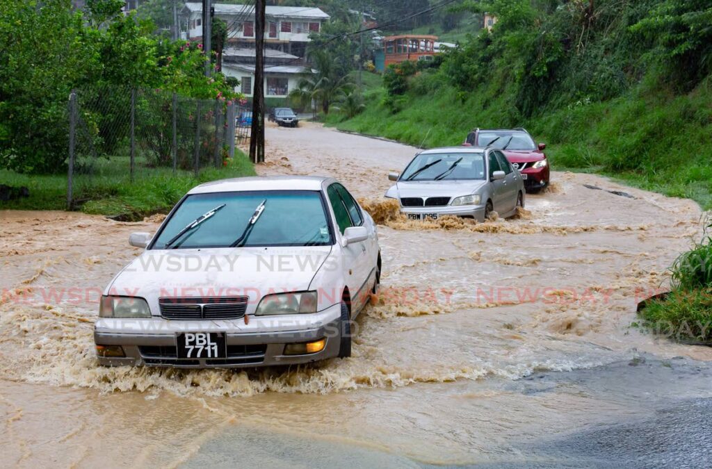
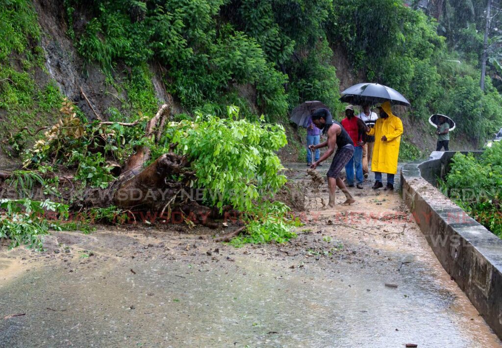
The end result was major flooding throughout the country as well as landslides.
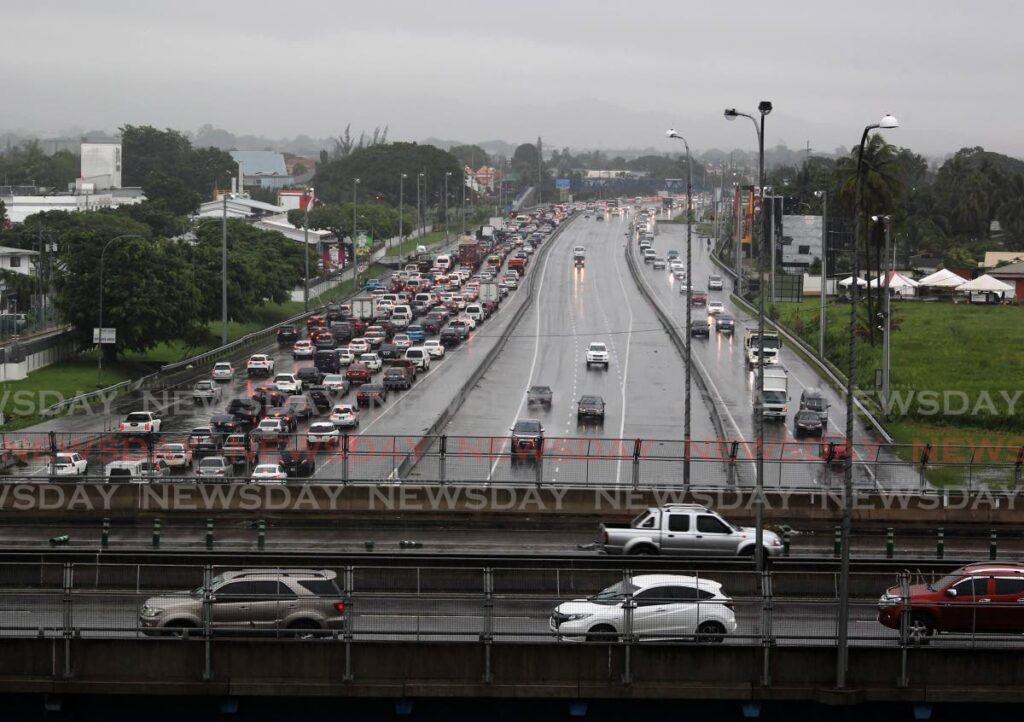
While the nation was put on alert by the Met Services since early Tuesday, by way of a yellow adverse-weather alert, few could have foreseen the swiftness with which major roads and highways, as well as large swathes of land ,became raging torrents of floodwaters.
The Met Office said the weather alert began at 12 am on Wednesday and ends at 12 pm Friday.
Information poured into our newsroom all day Wednesday citing major flooding along the East-West Corridor; in Sangre Grande, especially in Coalmine; parts of Chaguanas, especially Edinburgh 500; Tobago; Tunapuna; Lopinot; Five Rivers; San Juan; Trincity; Manzanilla; and in many other parts of the country.
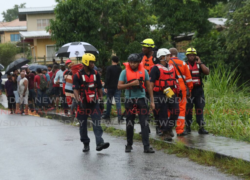
At one point around midday, there were reports from the Office of Disaster Preparedness and Management (ODPM) of floodwaters washing over the eastbound lane of the Churchill Roosevelt Highway near Orange Grove Road and Savannah Drive, leaving it impassable.
Classes end early
Several schools, including Trinity College East, St Augustine Secondary, Presentation College, Chaguanas, Northeastern College in Sangre Grande and others, were severely affected by flooding.
The UWI St Augustine campus also ended classes early as parts of the university became inundated with water.
Education Minister Dr Nyan Gadsby-Dolly, interviewed by Newsday, said schools in affected areas had been making requests to dismiss early.
A Newsday report saidwhen asked if the ministry would close schools owing to the flooding, she said, "Approval is being given upon request for schools in affected areas to close.
"Also, principals are allowing parents to collect their children from schools if required," she added.
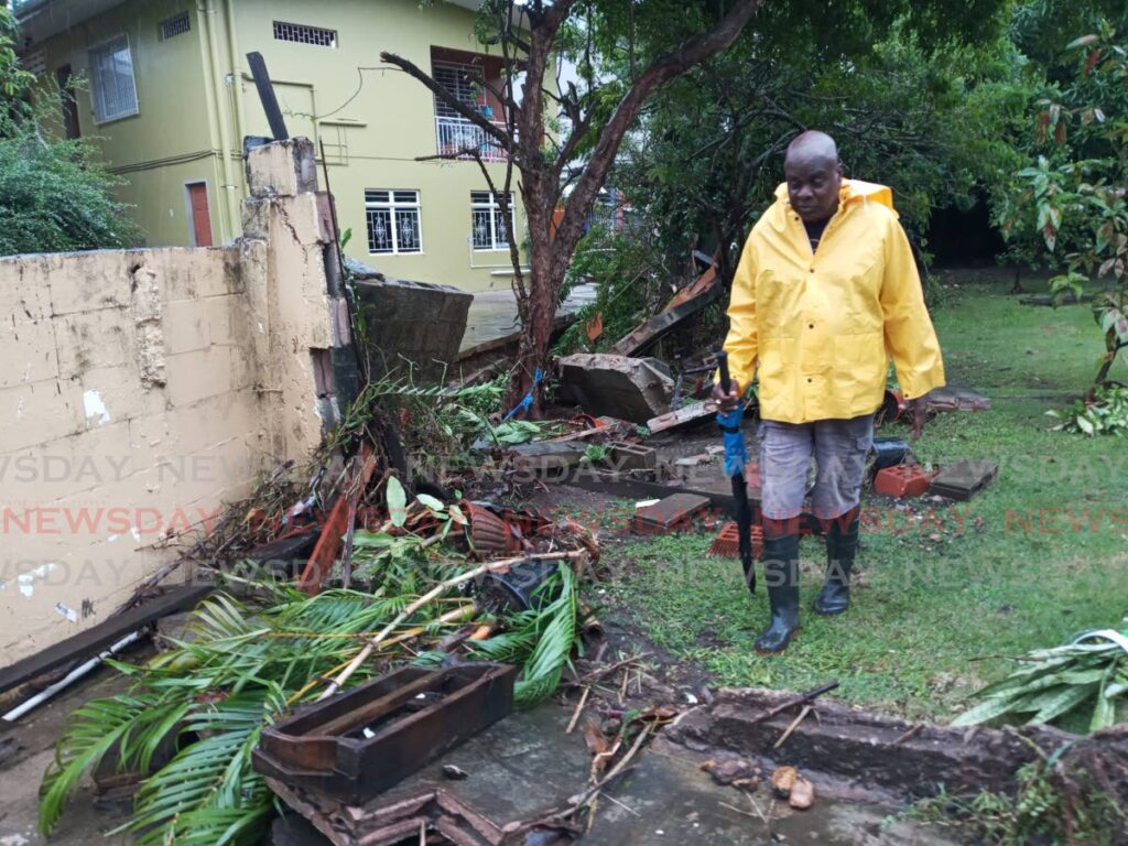
Several video images showing entire communities such as Paradise East in Tacarigua being turned into a sea of fast-moving brown water; the mangled remains of cars after they were washed away; and the Sangre Grande Hospital being flooded, were uploaded to social media and quickly went viral.
Woman washed away
The flooding is also believed to have been directly responsible for the loss of at least one life, after a woman was washed away in floodwaters in Lopinot, and is believed drowned.
Police said William Ramlogan and his 45-year-old sister Teresa Lynch, of La Pastora Village, were on their way to tend to crops when Lynch was swept away as she tried to cross the Surrey river.
Her brother tried to rescue her but the current quickly slammed him into rocks and he had to give up trying to reach his sister in order to save himself.
Up to 5.30 pm, villagers, police, firemen and divers were searching for Lynch, and her brother had to be taken to hospital for treatment.
Flood alert
At 5 pm, the Met Services – in addition to the ongoing yellow-level adverse weather alert – also put Trinidad and Tobago on a riverine flood alert – yellow-level warning. The riverine alert runs until Friday.
The Met Office said major watercourses in Trinidad, including the North Oropouche, Caroni and South Oropouche; and in Tobago, including Crooks and Darrell Springs rivers, were continuing to rise. At the time of the press release, these watercourses were at 80 per cent capacity.
The Met Office said though weather conditions appeared to be more settled as of late Wednesday afternoon, expected overnight showers and spring tides could conspire to bring the watercourse to maximum level.
There is the potential for overspill and consequent flooding overnight and into Thursday.
The Housing Development Corporation (HDC) was also monitoring the weather and resultant flooding as it confirmed in a release that the weather had affected its various housing developments.
It said it had distributed sandbags in Oropune Gardens, Piarco where the level of the Arouca River was rising.
"We have placed and turned on pumps in strategic locations and these are being used to push excess water out," the HDC said.
Its Disaster Management Team has been on the ground monitoring the corporation's most high-risk communities. It added that in some areas, the volume of water had risen faster than predicted.
For those areas, the HDC will continue to monitor and provide assistance to residents as needed. HDC clean-up crews were also said to be on standby to be deployed when the need arises.
Comments
"Tropical wave dumps rain over Trinidad and Tobago – Flooded"