
Rivers of Tobago
Pat Ganase considers our well-watered island.
Water is life. It surrounds us. It refreshes and sustains us.
Having benefited from over two centuries of conservation – preserving the Main Ridge forest reserve – for the purpose of safeguarding rainfall, all citizens of Tobago must maintain and enhance the terrestrial features that secure and harvest water.
By protecting our rivers from degradation, pollution and deforestation, we ensure our constant and available water supply.
We all live in a watershed: uphill from the coast or downhill from the mountains: it’s time we learned our place in the watershed, between the sky and the sea.
The protected Main Ridge reserve extends about half the length of Tobago from the north east and occupies over 4,000 hectares; or 40 square kilometres in Tobago’s total terrestrial area of 300 square kilometres.
Mainly volcanic, the central spine of Tobago runs from Pigeon Peak rising 550 metres above Speyside in the north, to Mt Dillon above Castara at 433 metres. Further along the spine, Mason Hall is at 169 metres. The south west of the island is a coralline platform undulating under 100 metres.
The prominent features of the Main Ridge are the forests which – except for the effects of Hurricane Flora on September 30, 1963 – have remained intact. In 1963, the impact of Flora was to change the economy from agriculture – banana, coconut and cocoa – to tourism.
Over the 60 years, Tobago is still struggling to find its unique offering in this industry. We are distinctive among other Caribbean islands which have been offering sun sea and sand for almost a century.
Tobago’s embarrassment of riches have included coral reefs – Buccoo was designated a marine-protected area in 1973 – biodiversity of the rainforest; as well as white-sand beaches on its Caribbean coast, and the wild and windy shores on its Atlantic side.
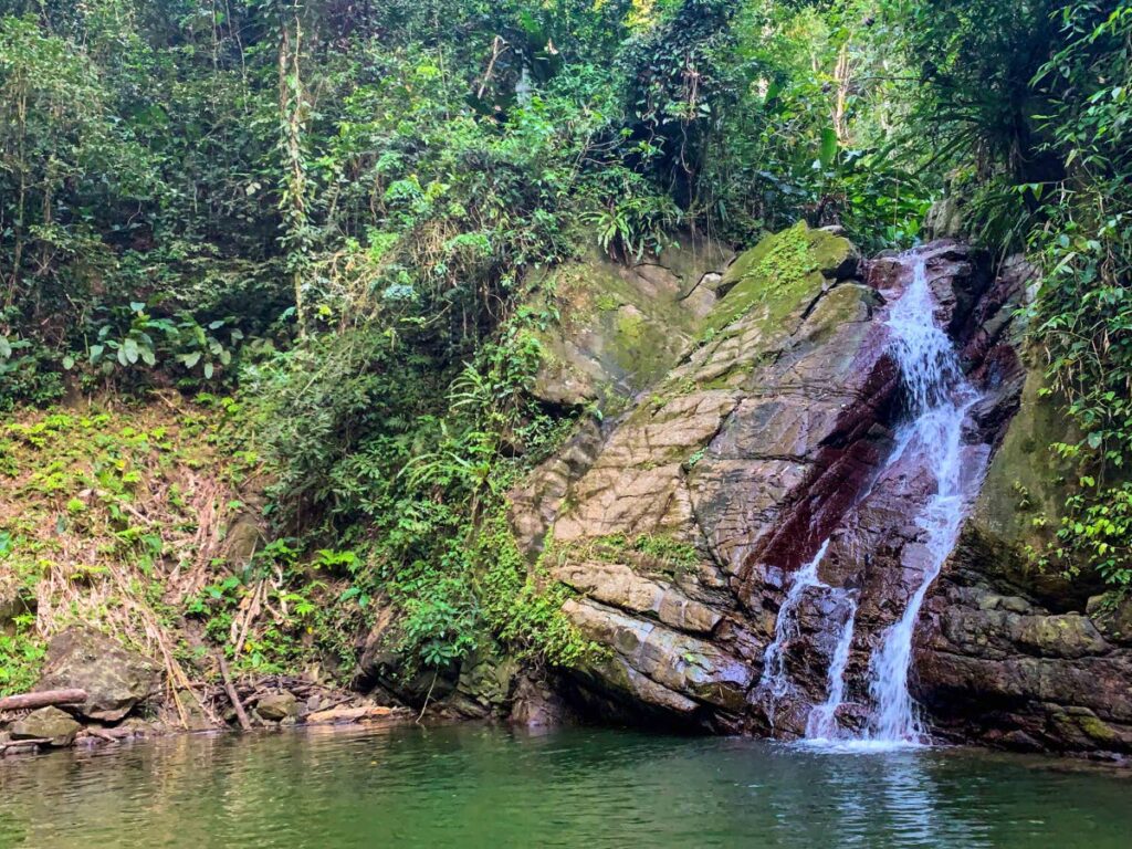
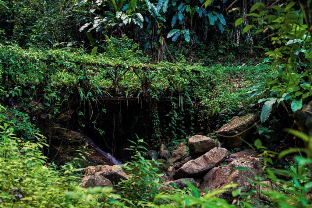
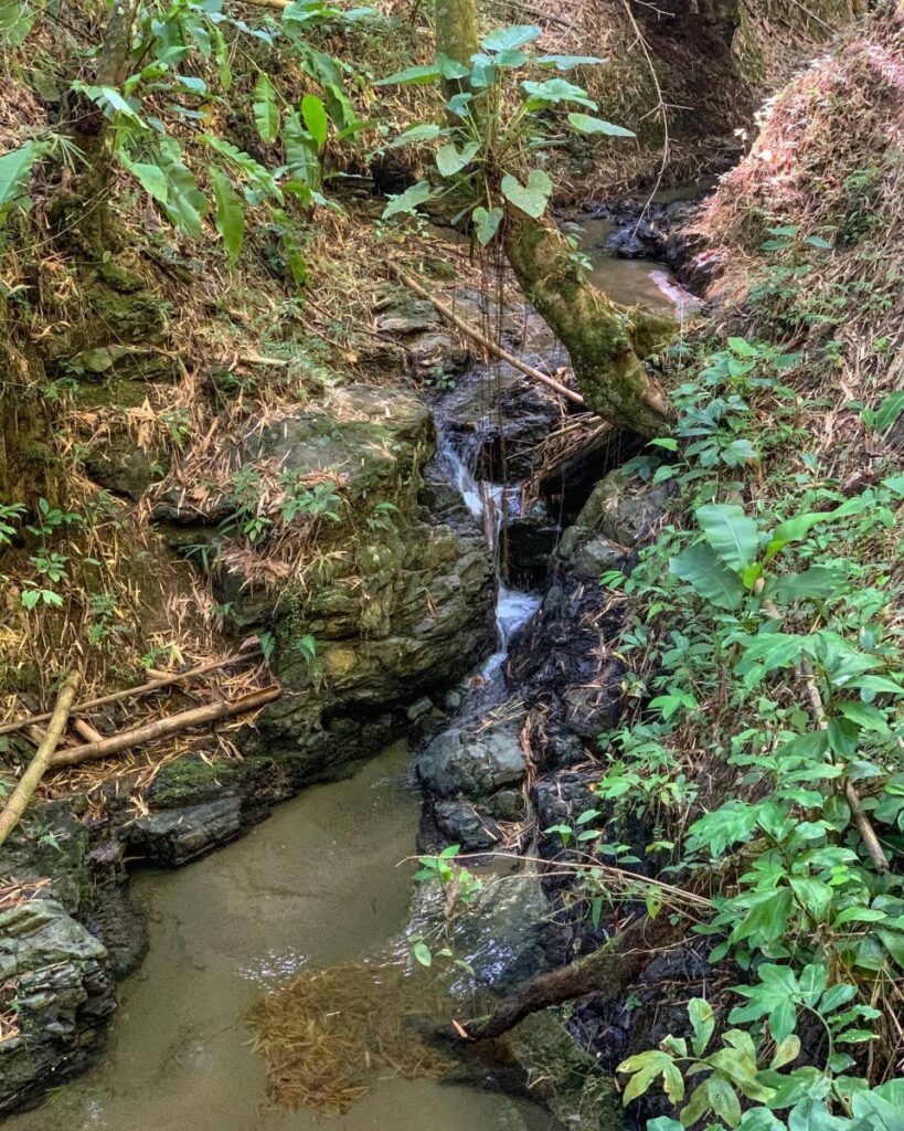
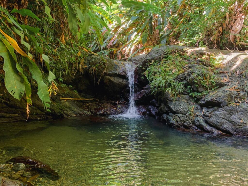
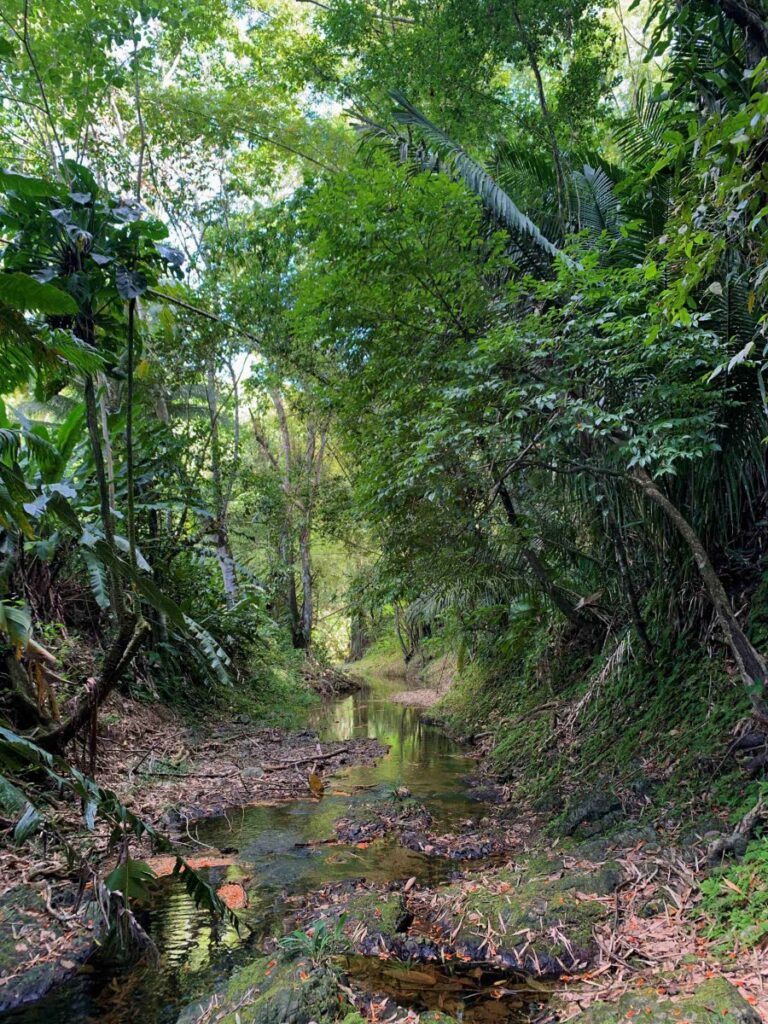
Let us consider Tobago’s rivers and streams. On the Northside Road along the Caribbean coast, these are visible everywhere, tumbling off the cliffs of the Forest Reserve in cascades and falls, picturesque and refreshing in dry weather but turning quickly into cataracts and torrents after rainfall. You can hardly travel anywhere in Tobago without crossing a river. Along the Parlatuvier-Roxborough Road, you follow the courses of constantly flowing rivers which, even if you don’t see them, you hear gurgling in the trees.
If we were to do a tour of the rivers, a day or two after rainfall during the rainy season – May to December – would ensure that the water is clear. Go with a small group; safety is paramount. We could start at the lowlands where the Lambeau river descends from Patience Hill to the coconut-palm-fringed coast just outside Scarborough. From the high ground and ridge above Mason Hall, the Bacolet and Providence Rivers descend to Bacolet Bay. These river mouths are on the Atlantic coast.
At Mount St George, the Hillsborough tributaries enter the sea at Hillsborough Bay from the catchment that waters most of the south west. From the soaring ridge of Mt Dillon, the Castara River flows to the Caribbean coast. The National Protected Areas Systems Plan 2018 (NPASP) proposes protection of this vital watershed by extending and designating as a special conservation reserve the southern Main Ridge (some 1,564 hectares) from the Bloody Bay-Parlatuvier road; and to include the Goldsborough watershed (some 1,284 hectares) which includes the highlands around Mt Dillon. Many rivers flow from this area, including Cuffie/ Coffee River, the Castara Rivers, Hillsborough and Goldsborough rivers.
From the Main Ridge to the Atlantic Coast, the Great Dog (Richmond) and Belle rivers meander to Richmond Bay. The Argyle and Roxborough rivers empty at Roxborough. Queens River of Louis d’Or enters the Atlantic at Queens Bay; and Kings Bay River enters Kings Bay at Delaford. Was the river given the name of the bay or the bay the river’s name?
At north Tobago above Speyside, the Starwood crest drains east to Anse Couleme, and west to Iguana Bay. Pristine rivers help nurture thriving coral reefs.
Off the Caribbean slopes, many streams bring water from Pigeon Peak into Man-o-War Bay. Rising from the same watershed as Queens and Kings Rivers, the Bloody Bay River meanders to the Caribbean coast. Other streams empty at Parlatuvier and Englishman’s Bay.
The NPASP also proposed conservation management of additional 2,401 hectares in the Northern Main Ridge for protection of watershed and endemic species. It was felt that an opportunity exists to balance protection of the watershed with livelihood from ecotourism. This has been taken up by the proposers of the Man and Biosphere Reserve (MAB) in north east Tobago.
Outside the MAB, according to the NPASP, “the opportunities for further habitat protection in the southern third of Tobago are greatly limited due to the degree of human development in those areas and the lack of large State properties with natural cover. Although these areas are not formally represented in the systems plan, the management agencies are encouraged to collaborate with the private sector to improve the ecosystem services in these southern watersheds.”
In an area of the world where climate change is expected to bring drought to small island Caribbean states, TT is especially fortunate to have benefitted from increased rainfall under the influence of La Nina. Should we not seize the opportunities to extend and improve ecosystem services from natural terrestrial features, the mountains, the forests, the rivers and the sea. Let us do this for our families, our communities, ourselves; thereafter to welcome visitors to our beautiful and bountiful island.
Comments
"Rivers of Tobago"