
Meteorologist: Trinidad and Tobago right to be on high alert for storm
METEOROLOGIST Gary Benjamin said he and his colleagues got it right in predicting a potential storm was to hit Trinidad and Tobago and luckily the wind speeds did not increase as it passed the country, causing heavy rains and winds.
Speaking with Newsday on Wednesday after the potential tropical cyclone two (PTC2) spared TT, Benjamin said the forecast was a prediction. And with a prediction of up to 90 per cent chance the disturbance would become a storm, putting the country on alert was the right thing to do.
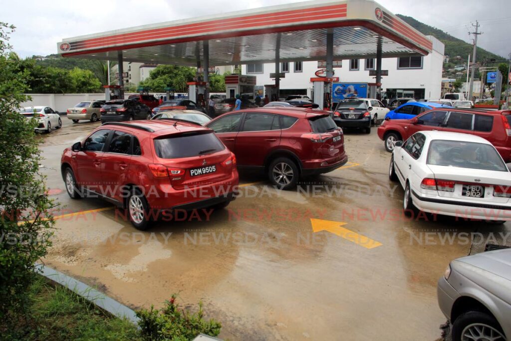
Benjamin was responding to claims that he and his colleagues were wrong after days of warning by government officials to prepare for a possible storm which turned out to be rain in some areas and slight winds with minimal damage across the islands.
“We had no choice! We had to put the areas where it would pass on tropical storm warning, because you would appreciate if it does develop and it’s touch-and-go to develop, that we have to get the country ready ,and we would not have been ready and that would have been very bad.”
He added that the PTC2 appeared to be developing into a storm, so the US National Hurricane Center had sent planes into the centre of it for monitoring. He said there was no enclosed isobaric area within the PTC2 ,which is needed for it to be considered a depression or a storm. He said the PTC2 also needed to come down to surface level to develop into a depression, then a storm, but that did not happen.
“So for the strong tropical wave, they were seeing high tendencies to do that ,but that never materialised and it was moving very quickly. So if it had settled a little bit and had the chance to ramp up a little bit and cause the circulation to come down to the ground (it would have developed into a storm).
"Even if it wasn’t a cyclone, the weather associated with the tropical wave was very strong. While it was a potential tropical cyclone it remained a strong wave, and therefore the weather developed along certain areas along the wave.”
He added that the weather developed north of TT with Grenada experiencing the brunt of it with strong winds and rain.
As at 5 pm on Wednesday the PTC2 was speeding towards Aruba, Bonaire, and Curacao. Heavy rain was expected in northern Venezuela and north-east Colombia on Thursday and is expected to reach Nicaragua and Costa Rica by Friday.
The National Hurricane Center tweeted that hurricane conditions were possible within the hurricane watch area along the Caribbean coast of Nicaragua by late Friday, with storm conditions by Friday afternoon.
“We were spared the brunt. Trinidad and, to a lesser extent, Tobago was spared the brunt of the stormy activity, and, therefore people are saying we (meteorologists) were incorrect. But, in fact, we were correct, because the PTC2, and the potential area the cycle would develop, actually passed in the area where the tropical storm warning was put out for.”
The storm warning was put out for TT, Grenada and its dependants on Monday. Benjamin said the wind speeds did not increase when the PTC2 passed over Trinidad and to some extent Tobago, but increased as it neared Grenada. Grenada recorded storm-like wind speeds of 118 km/h on Tuesday, with speeds reaching 60km/h on Wednesday.
Storm warnings for both countries were lifted by Wednesday.
Comments
"Meteorologist: Trinidad and Tobago right to be on high alert for storm"