
Tobago’s agricultural challenge
It isn’t surprising to hear that Tobago is experiencing challenges in increasing food production.
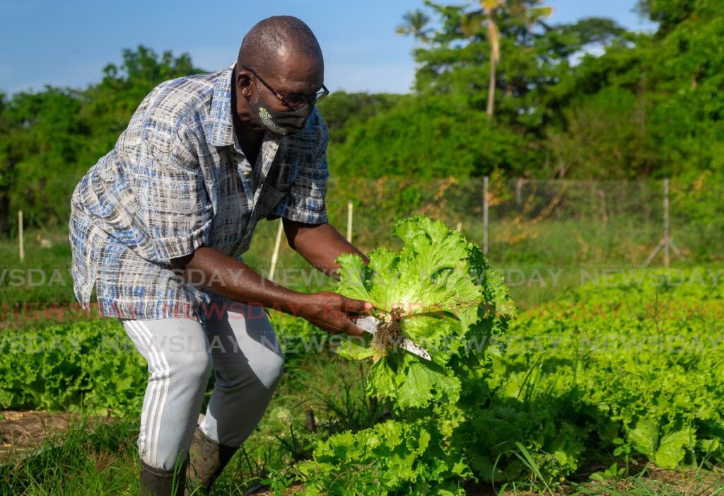
Karl Murray, technical officer of the THA Division of Food Security, Natural Resources, the Environment and Sustainable Development, explained on Tuesday that despite distributions of agricultural land over the last two decades, there has been no increase in production.
The island has been challenged in establishing a sustainable agricultural economy over the last two centuries. Tobago’s pinnacle as an agricultural colony peaked in 1799, buoyed by the high price of sugar and slave labour. Even then, plantations were mandated to set aside part of their holdings for subsistence crops an acre for every five enslaved people.
When prices dropped dramatically and slavery ended after 1838, the economic basis for sugar was scuttled. Efforts at a sugar industry died out entirely by the beginning of the 20th century.
Cocoa and coconut plantations, along with subsistence farms, were destroyed by Hurricane Flora in 1963.
That history of setbacks hasn’t slowed interest in agribusiness.
Mr Murray said there are more than 1,200 applications for state land awaiting review, but land distribution on the island cannot continue on an ad-hoc basis without a plan to make the best use of the arable land available.
Mixed in with plans for agriculture are requests for land for development.
He believes that for any serious effort at agricultural production in Tobago to succeed, some previously distributed land will have to be returned or reallocated to improve acreage.
The importance of sensibly managing state land cannot be underestimated.
As a discrete island, Tobago is just 300 square kilometers in size, measuring 26 by seven miles. By comparison, Grenada is 344 square kilometers.
Forty square kilometers of Tobago’s northeast is the Main Ridge Forest Reserve, untouchable both as a natural preserve and as a key part of the island’s ecological balance. Without that forest cover, declared a protected reserve since 1776, the island is both poorer as a tourist destination and in danger of losing its arable land to erosion.
The value and best use case for the remaining state land must be governed by a considered understanding of its value.
The THA would be wise to consider every square inch of Tobago’s land area under its control as a critical resource.
That may involve difficult decisions. An acre of arable land may deliver greater value as the site for a hotel or guest house, delivering far greater returns than it would if it turned to crops. Some attractive construction sites must be preserved for ecological reasons.
But Tobago’s limited land mass makes surveying and assessing the state’s acreage an achievable possibility.
On the basis of that knowledge, better-informed decisions can be made to sustainably develop the island.
Comments
"Tobago’s agricultural challenge"