
Met Office: Dry season has not ended
Notwithstanding the effects of the yellow-level adverse weather event expected to affect Trinidad for the rest of the day, the Meteorological Office said the wet season has not officially started. It reminded that in January it had predicted a wetter than usual dry season.
On-duty meteorologist Paula Wellington said climatologically the wet season begins on June 1. Communications Officer Camille Graham said one of the criteria used to determine the start of the wet season was that initial rainfall had to be from the inter-tropical convergence zone or a tropical wave.
In its rainfall and temperature outlook for TT for May to July 2021, the Met Office said May was likely to continue the drying trend following a wet March and a transition to a relatively dry April.
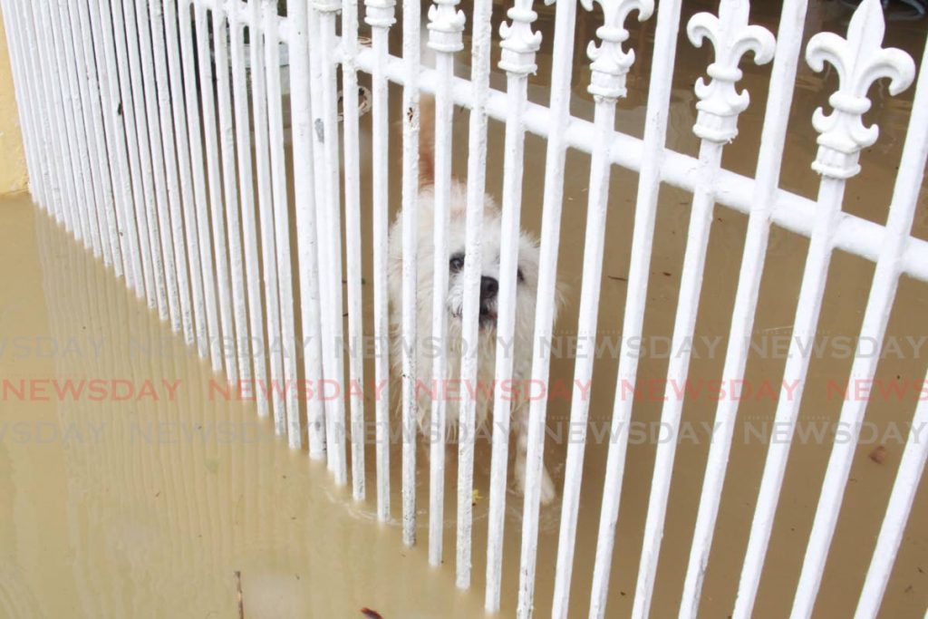
“With ongoing drying favoured to continue in the short-term, the odds are tilted towards drier than usual conditions with below average rainfall likely for May to July 2021. Drier than usual does not mean the absence of heavy rainfall days or events. Therefore, concerns remain for flash flooding on heavy and prolonged rainfall days, especially during June and July.”
It said the average rainfall totals forecast for the period May to July ranges from 78 per cent to 96 per cent of the long-term average. It said mostly hotter-than-usual conditions are expected for May, and the chance for very hot days, with a temperature of at least 34 degrees Celsius, and hot spells has increased for May. It also said warmer-than-average days and nights are likely for the three months.
The Met Office said the Madden Julian Oscillation (MJO) is likely to enhance local rainfall during the first week of May and suppress it during the second and third week, but near average sea surface temperatures (SSTs) in and around TT will probably be the main influencer of the local climate in the short term.
The (MJO) is the major fluctuation in tropical weather on weekly to monthly timescales. The MJO can be characterised as an eastward moving "pulse" of cloud and rainfall near the equator that typically recurs every 30 to 60 days.
The Met Office said although there are increased chances for drier than usual conditions, there can still be heavy rainfall days that are high-risk enough to cause severe flooding and heightened concerns for people in flood-prone areas remain, especially for June and July.
It said hotter-than-average maximum day and night temperatures during May suggest heightened concerns for people with heat-sensitive ailments, vulnerable people exposed to excessive heat, and heat stress in livestock and other animals, as well as, in young and transplanted crops.
Comments
"Met Office: Dry season has not ended"