
Using 3D tech to protect heritage sites from rising sea-level threat
THE National Trust of TT was in the forefront of highlighting how a new digital technology is being used to scan heritage properties and the surrounding communities and to assess their vulnerability to rising sea level.
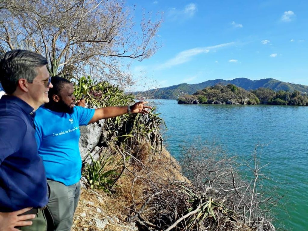
The Trust engaged the services of the director of the Historic Preservation Program at the University of Florida College of Design, Construction and Planning, Morris (Marty) Hylton III.
Hylton has been living and working between St Augustine, Florida and Nantucket, Massachusetts, for the past 13 years.
In that time, he has observed first-hand, historic flood levels in those areas with up to a three-fold increase in the frequency of flooding in St Augustine, said a media release. His interest in rising sea level and flooding, apart from the obvious, is because Florida and Nantucket have several vulnerable coastal communities that are home to many important heritage buildings, the release said.
Hylton gave a presentation to local stakeholders on the new digital technology on March 12 at an event hosted in collaboration with Citizens for Conservation and US International Commission of Monuments and Sites (US ICOMOS). Participants at event, held at the National Trust's conference room, Sackville Street, Port of Spain, included climate specialists, planners, water management specialists and community-based organisations.
Hylton told participants 3D laser scanning gives administrators digital models of spaces correct to within two to three millimetres and it is much faster than taking manual measurements.
“A typical space that might take engineers 12 weeks to manually measure can be done in just two hours with the laser scanner,” he said.

In addition to measuring the dimensions of buildings, streets and other infrastructure, the system also incorporates elevations so a full 3D model can show the areas at greatest risk of flooding for different projections of sea level rise before it floods.
Using scans of Nantucket combined with sea level data from National Oceanic and Atmospheric Administration (NOAA), Hylton can simulate projections for sea level rise over multiple decades. The projections show that by 2040, popular streets in Nantucket will begin to have six inches of flooding twice per day. By the year 2060 they will experience floods four-feet deep and by 2100, floods will be eight-feet deep, the release said.
The benefit of these projections based on accurate spatial measurements and hard data on trends in sea level rise is that administrators can prioritise interventions for the areas that will be affected. This can take the form of engineering solutions such as: wet flood-proofing in which water is allowed to move through a building; dry flood-proofing that keeps water out; building platforms to physically elevate an at-risk property above the projected flood levels or; move the building if possible.
Hylton noted that berms in low-lying coastal areas have not proven to be an effective long-term solution so administrators have to look at alternatives.
“The goal with managing heritage locations is to keep people in place, in the places they love. Vulnerability assessments informed by 3D laser scanning give administrators precise information so they can make better mitigation plans for heading off impending flood problems.”
About the National Trust
The National Trust was established by The National Trust of Trinidad and Tobago Act, Chap.40:53 with the aim of ensuring the country’s built and natural heritage assets are protected and accessible for the enjoyment of all citizens. Its core functions include, maintaining accurate records of identifiable built and natural properties of interest; obtaining legal protection for properties and sites important to national heritage through a process of “Listing,” making provision for access to and enjoyment of properties of interest by the public; encouraging research and acquiring records of properties of interest and historical artefacts and promoting awareness to ensure general acceptance of the rich and diverse heritage of TT
For more info: visit http://nationaltrust.tt/
Comments
"Using 3D tech to protect heritage sites from rising sea-level threat"