
Met office: Hazardous seas to last until early November

SHANE SUPERVILLE
The TT Meteorological Office is urging public to exercise caution and pay heed to life guards and weather bulletins from the authorities when venturing to beaches from now until early November.
Speaking with Newsday yesterday, weather forecaster Alex Young said the waves that are being attributed to the hazardous seas warning are being generated by a cyclone in the northeastern Atlantic Ocean near Europe. He said unlike a rough seas event, this was a hazardous seas event which often occurred over a longer period.
"It's generated by a mid-latitude cyclone very far north east in the Atlantic Ocean about halfway in between the northeastern Canadian maritime region and Europe, so it's being generated by a very strong mid-latitude cyclone.
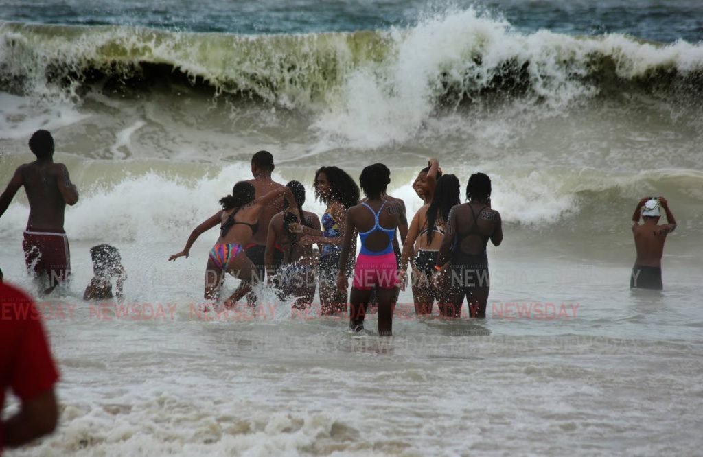
"Sea bathers, fishermen and small craft operators should carefully monitor near shore coastal conditions and exercise caution. Be alert for dangerous breaking waves and currents. Follow the instructions of lifeguards and follow updates from the official meteorological source at www.metoffice.gov.tt."
On Monday morning several videos of strong and choppy waves at Maracas Bay and other parts along the north coast were circulated on social media. Including one video where a man claimed the waves came up far along the beach, sweeping away items.
Comments
"Met office: Hazardous seas to last until early November"