A highway runs through it

One of you lives at Gopaul Park, the other at Gopaul Avenue. Your front doors are less than 300 feet apart. You may have a chance encounter in the parking lot of the local drugstore, which has become a pseudo town centre for the community, but it’s likely not an intimate neighbourly interaction.
In fact, are you even neighbours when the path to walk, bike, or drive to each other’s house is 2.4 kilometres long?
It’s not some insurmountable geographic hurdle separating you, but rather a man-made failure of urban planning.
To the undiscerning eye, the Diego Martin valley and environs may seem like the pinnacle of development in TT. It is located desirably close to the capital city. It has shopping malls, elite private schools, numerous banking facilities and other conveniences that some areas dream of. It contains some of the most expensive real estate in the country, in neighbourhoods like Blue Range, Victoria Gardens, and Westmoorings.
Although you won’t find anyone fishing there, a river does in fact run through it. However, so does a highway, and that’s the problem.
Simply put, Diego feels cold. This isn’t an issue of temperature. It’s fragmented, spread-out, bisected by a highway, and connected with an inefficient road network of dead-end streets and long uninterrupted blocks, which increases the time and distance to travel between any two points.
I am reminded of this every time I drive on that highway, with cars zooming by at ungodly speeds and swerving in and out of traffic, and intrepid pedestrians scurrying across. I look at homes, like the above-mentioned, located so close, yet so far, on opposite sides of the road, and wonder how we settle for this absurd, yet increasingly ubiquitous living arrangement.
It’s a cautionary tale of what happens when specialists, in this case traffic engineers, are allowed to guide urban planning, which is a task for generalists. For the former, the goal is to move vehicles from point A to point B.
For the latter, the goal is to balance the need to move people with the need to ensure strong economies, and promote the health and well-being of communities and the environment, among other competing needs.
A highway solves only one of those needs. In order to compensate for this failure of specialist mentality, a cycle of expensive and otherwise unnecessary infrastructural investments then begins.
It’s six kilometres from St. James to the end of the Diego Martin Highway in Diamond Vale. At 80 kilometres per hour and assuming a completely uninterrupted trip, which is highly unlikely, one would make the journey in 4.5 minutes. At 50 kilometres per hour, that time would minimally increase to 7.2 minutes.
Does a time savings of 2.7 minutes or less justify a roadway which splits a community in two? East and west no longer simply represent cardinal points, but rather enclaves. Good luck walking or biking to, or having a neighbourly relationship with someone from the other side.
Since you’ve ripped through the community, you then have to try to sew it back together with overpasses, pedestrian walkovers, and other inefficient, expensive, and futile tactics that won’t ever recreate any sense of functionality, connectedness, or well-being.
What’s the solution?
Re-imagine it as a multi-modal boulevard.
The street would be designed for traffic speeds of 50 kilometres per hour or less, with traffic-calming textured paving, raised crosswalks, beautiful street trees, and narrower travel lanes. Any space gained by this narrowing could be used to widen the median, providing a refuge for pedestrians, and making it easier to cross the road. A widening of the right-of-way, or conversion of existing lanes in either direction, could facilitate dedicated public transit and bicycle lanes.
Starting at Cocorite, redeveloped buildings –leaving room for newly created pavements – could line the street, giving definition to this public space and adding to the sense of comfort, warmth, and cosiness at a human scale. The street would become a unifying bridge, rather than a separating canyon.
The Diego Martin River could be turned into an amenity, with a river revitalisation and waterfront park initiative similar to those in Los Angeles, California; San Antonio, Texas; Medellin, Colombia; or Seoul, South Korea.
Counterintuitively, the capacity of a roadway can be retained or improved by lowering travel speeds. As a bonus, many of those unnecessary car trips, induced by the poor physical connectivity and pedestrian and bicycle-unfriendly environment created by the highway, may even disappear. Countless highway-conversion projects have proven that the traffic apocalypse predicted by the naysayers simply never happens.
It’s time to rethink our priorities, learn lessons from progressive cities and the Highways to Boulevards movement, and put our money to more beneficial uses.
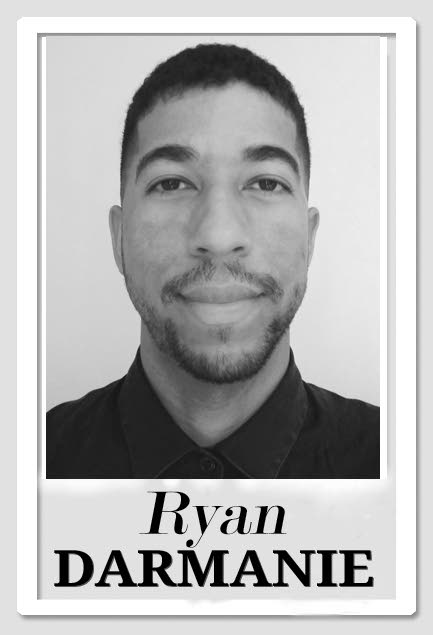
Ryan Darmanie is an urban planning and design consultant with a master’s degree in city and regional planning from Rutgers University, New Jersey, and a keen interest in urban revitalisation. You can connect with him at darmanieplanningdesign.com or email him at ryan@darmanieplanningdesign.com


Comments
"A highway runs through it"