
Saharan dust may decline by Wednesday
EXPECT a decline in Saharan dust plumes by Wednesday.
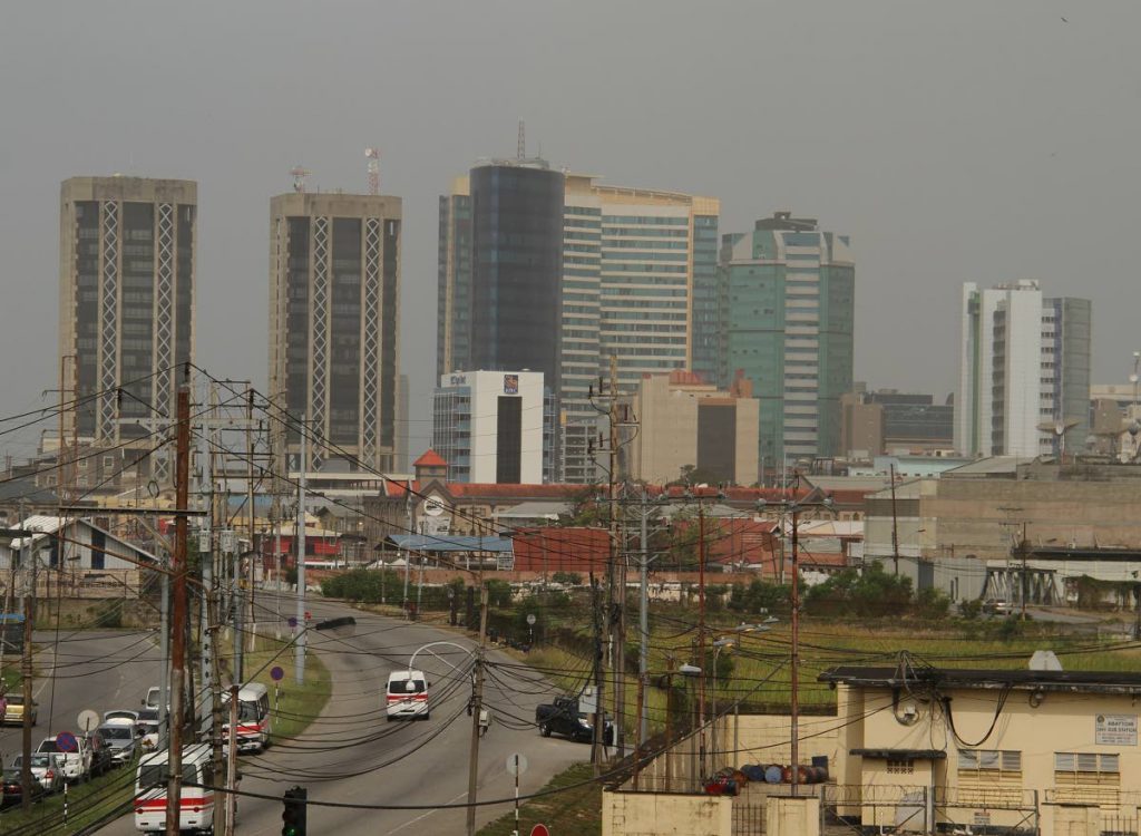
Saharan dust levels increased over the weekend and many people shared photographs of the haze across TT on Facebook and of themselves wearing dust masks.
Officials at the Met Office told Newsday, dust levels will decline by Tuesday evening into Wednesday morning.
One meteorologist said the dust, which is common at this time of year, was estimated to persist over the next two or three days before eventually dissipating.
He said this is only an estimate, and the dust may linger in some parts for some time before eventually disappearing.
Saharan Air Layer (SAL) is an extremely hot, dry and dust-laden layer of air that originates over the Sahara Desert of North Africa, where it extends from the surface upwards to several kilometres.
It is fed by strong low to mid-level easterly winds over the desert which pulls sand and dust particles into the atmosphere. This is where the dust haze really emanates from.
This layer of dusty, very dry and warm air is pushed westward by the easterly winds and, on reaching the West African coast or eastern Atlantic Ocean, it rides over the cooler, more moist surface air of the Atlantic Ocean, forming what is called an atmospheric inversion layer or boundary: with warm, dry air aloft and cooler, moist air below.
Comments
"Saharan dust may decline by Wednesday"