
Met Office: Beware showers, floods tomorrow
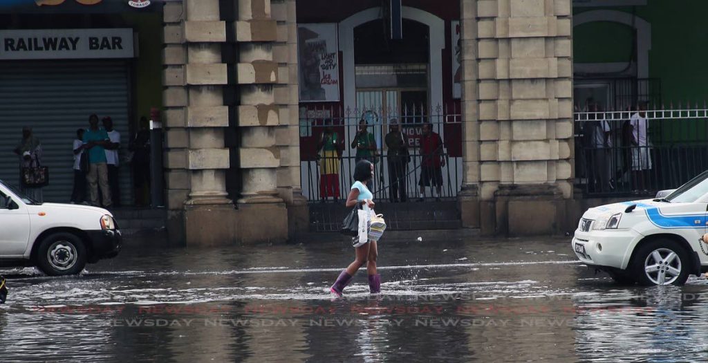
THUNDERSTORMS and floods are possible from tomorrow to Saturday, warned the Met Offic in several online posts, on the heels of recent flood devastation in areas of east and central Trinidad.
On Twitter, it said, “Periods of showers and thunderstorms are likely from Wednesday with a possible peak between Thursday and Friday.”
An Adverse Weather Alert #1 at Yellow Level is in effect from Thursday to Friday.
“There is a 70 per cent chance of heavy showers or thunderstorms during the period, which may lead to street/flash flooding.”
The Met Office’s website, in its forecast, indicated: “Gusty winds, street and flash flooding is possible (amid) heavy showers and thunderstorms.”
The website also warned of landslides/landslips in areas so prone. “Gusty winds can also be experienced in the vicinity of heavy downpours. This activity is due to the Inter-Tropical Convergence Zone (ITCZ).
“Rainfall accumulations of 35 to 50 mm can be expected, with higher amounts in isolated areas.”
The public was advised to monitor the weather and get updates at the website of the Office of Disaster Preparedness and Management, www.odpm.gov.tt
Comments
"Met Office: Beware showers, floods tomorrow"