
Met Office: 'Relief from heavy rain coming for flooded areas'
CLINT CHAN TACK
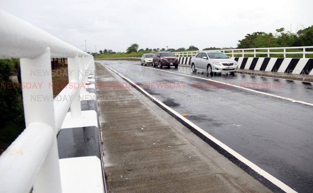
CITIZENS and communities who were affected by flooding over the last three days can expect some relief as weather conditions are settling down. This was the information today from the TT Met Office. Meteorologist Gary Benjamin told Newsday that the intense Inter-Tropical Convergence Zone (ITCZ) activity which caused heavy rainfall over the last three days has played itself out. He explained that activity was the result of weather patterns in the upper atmosphere.
Based on this, Benjamin said the Met Office does not expect the country will experience the widespread rainfall it did, over the last few days. He said there is sunshine forecast today but there could still be rainfall in parts of Central and South Trinidad, as well as near hilly areas.
While weather patterns are returning to normal, Benjamin said the adverse weather and riverine flood alerts are being maintained at orange and red respectively. He explained this is a precaution because although the ground is drying out, it remains saturated. Benjamin said there could be flooding if heavy rain showers occur in certain areas.He said the Met Office is closely monitoring the situation and the alerts could be lifted before their stated end periods, once conditions improve.
The riverine flood alert was raised to red last Friday at 6 pm and is scheduled to end on Friday at midnight. Riverine flooding occurs when water levels in a river over-tops its banks and spills onto surrounding areas. This type of flooding is more widespread and usually lasts for several days. The Met Office said currently river levels have exceeded threshold levels and some have already over-spilled their banks. Additional rainfall is expected hence river levels will remain at an elevated level over the next several days.
Areas covered by this alert include Sangre Grande, parts of Port of Spain and San Fernando, Chaguanas and Fyzabad. The adverse weather alert was placed at orange level last Thursday at 10 am. This alert is scheduled to be discontinued tomorrow at 6 pm.
This type of alert means an active ITCZ continues to produce intermittent periods of rain/showers and thunderstorm activity which can lead to flash flooding and exacerbate existing riverine flooding. Showers can be heavy to torrential at times and produce damaging gusty winds. Landslides or landslips are also likely in areas so prone.
Comments
"Met Office: ‘Relief from heavy rain coming for flooded areas’"