
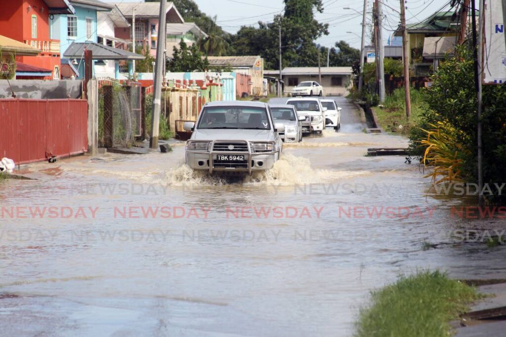
Weather alert now at orange level
BRACE for rainfall of more than 25 millimetres and gusty winds higher than 55 km/hr, especially in the area of heavy showers/thunderstorms and street/flash flooding.
The Met Office of Trinidad and Tobago (MET) has upgraded the weather alert to orange.
The riverine flood alert was also updated to orange level.
This means that: “River levels are currently near or above threshold values in some parts along the major and minor watercourses with flooding ongoing in some areas.”
The update added: “Rainfall accumulations are forecast to be in excess of 25mm over the next 12 to 24 hours and can further increase the volume of already overwhelmed watercourses and overspilling of banks is expected.
“There is now a high risk to public safety, livelihood and property in communities surrounding these watercourses. Note that run-off will be slow at high tide.”
In an update on Sunday morning, the office said the upgraded adverse weather alert remains in effect until Monday at 6 pm. It was upgraded at 7.45 am.
TT is likely to experience “rainfall and/or showers of varying intensities” which are expected to continue throughout the day, especially during Sunday afternoon, the updated alert said.
There is a 70-80 per cent chance of heavy showers and thunderstorms.
On Saturday, the Prime Minister issued a statement in which he described the current weather as a “weather emergency.”
In the Facebook post, Dr Rowley said, “The international forecasts are for further incoming heavy rainfall over the next two days. Already there is significant damage to our road infrastructure in very many parts of the country.
“We are anticipating increased flooding and landslides in susceptible areas. Citizens are requested to be very alert to these dangers and, as far as feasible, restrict your movements until the dangers have passed or are abated.”
Comments
"Weather alert now at orange level"